Hansa Luftbild
Intro
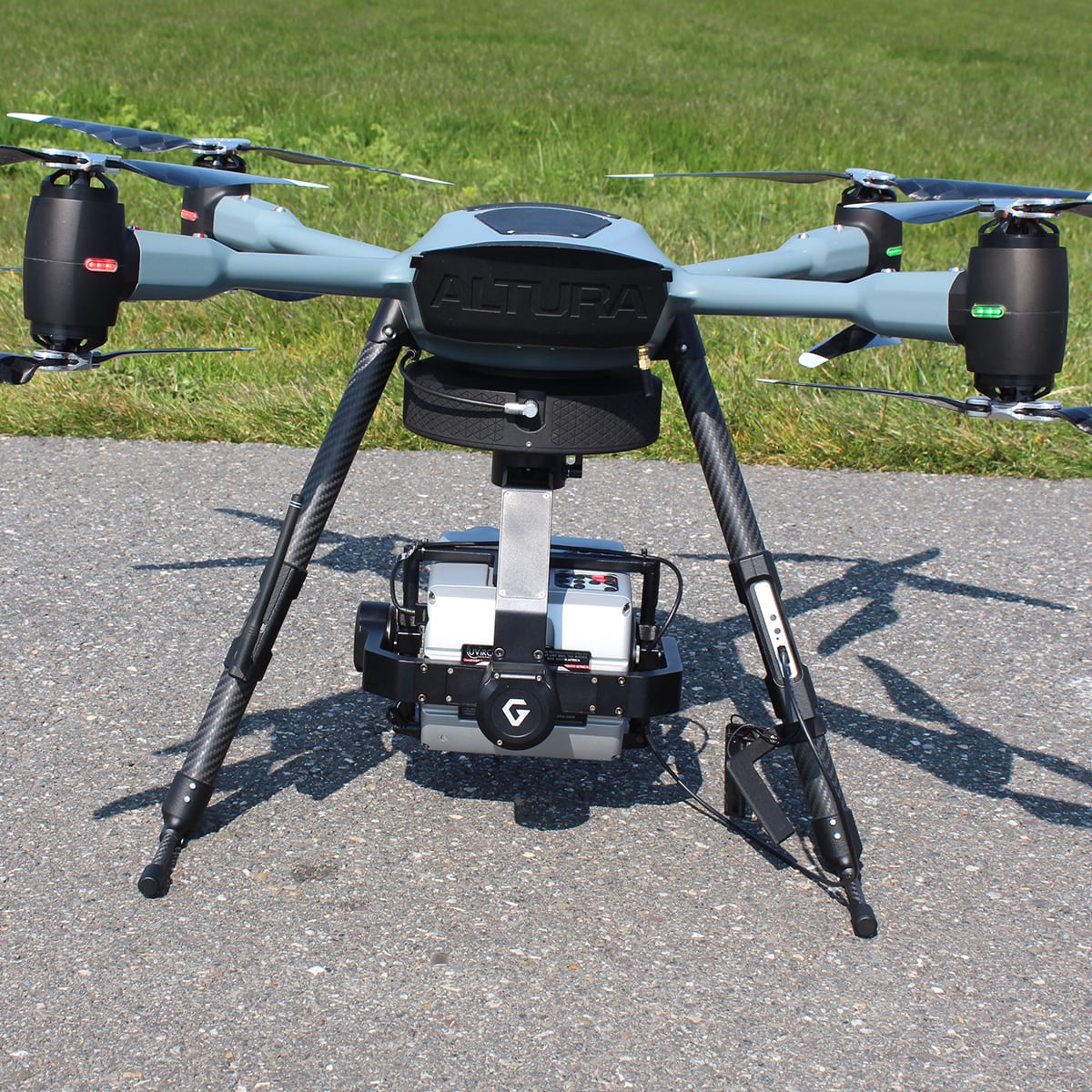
Since founded in 1923, Hansa Luftbild has developed market-leading technical approaches to convert geographic information into solutions for governments, authorities and companies. Cost savings, optimization of tax systems or increased sales – these are advantages of Hansa Luftbild’s global geographic solutions. Optimize infrastructure plannings, build up a cadastre system or detect energy losses of powerlines or leaks in pipelines with Hansa Luftbild’s global geographic solutions. Or even build up your own geo data infrastructure. Rely on global geo solutions. Made in Germany. Manufactured by Hansa Luftbild.
State of the Art. Worldwide.
Since 1923
Hansa Luftbild
About Us
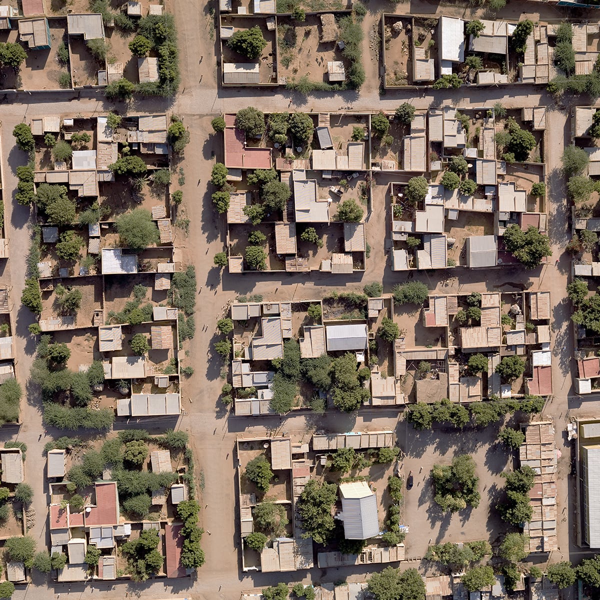
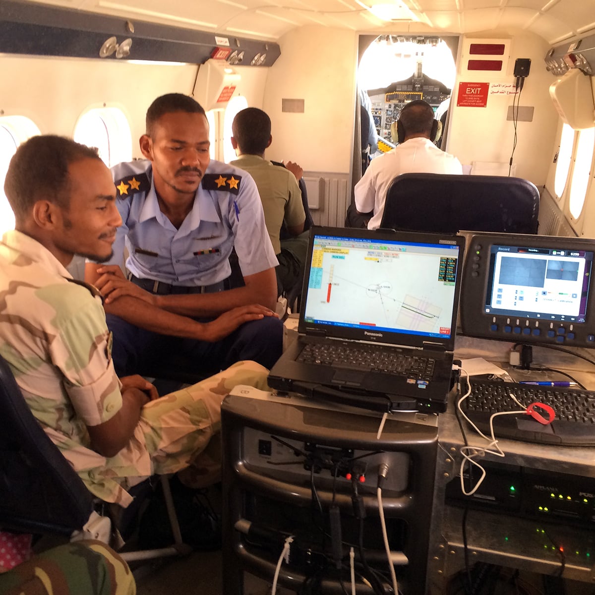
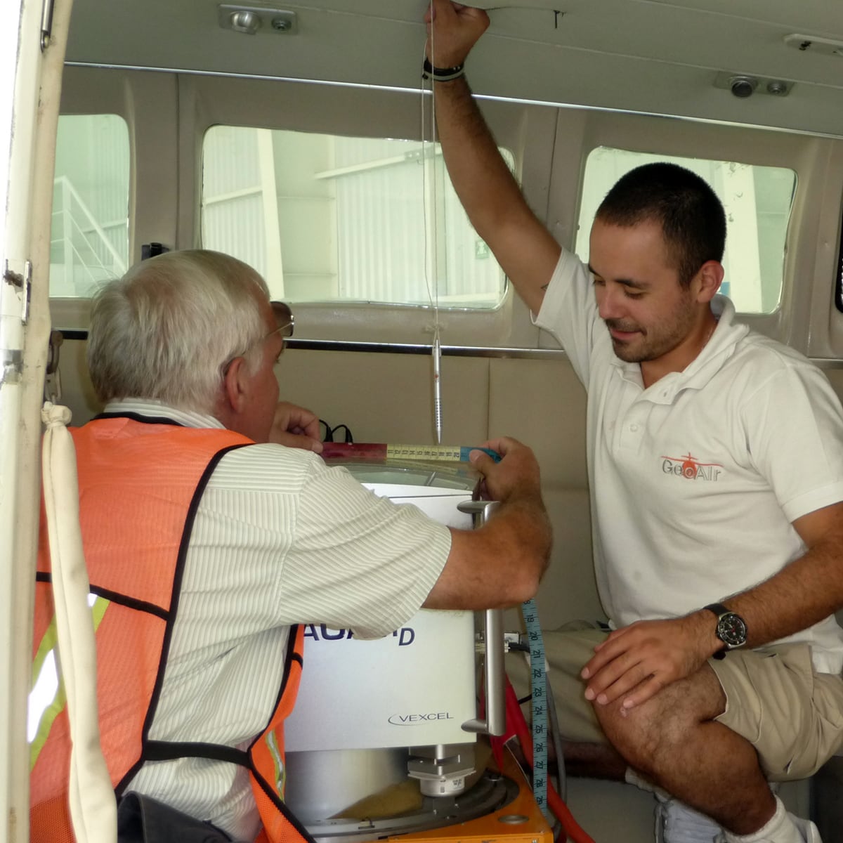
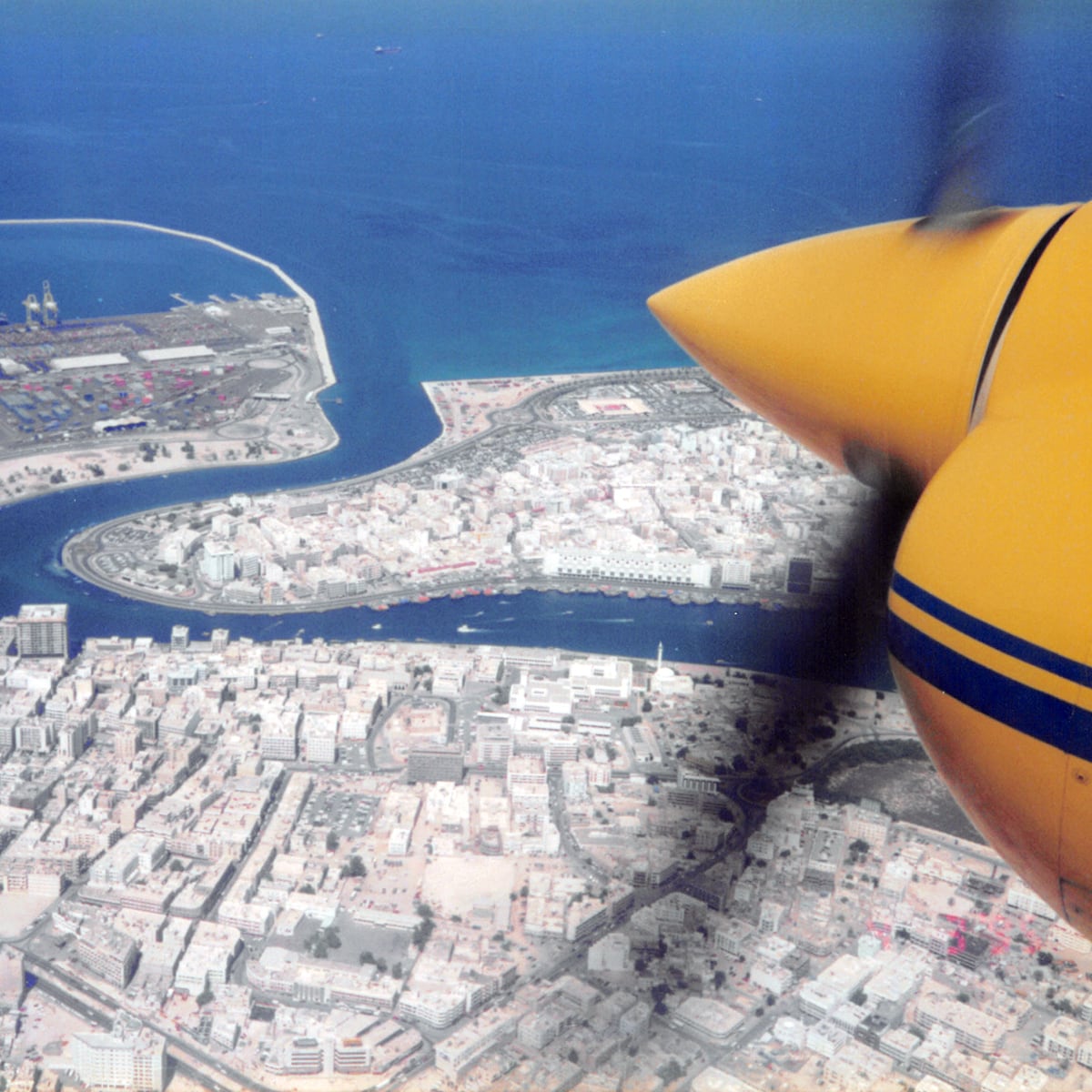
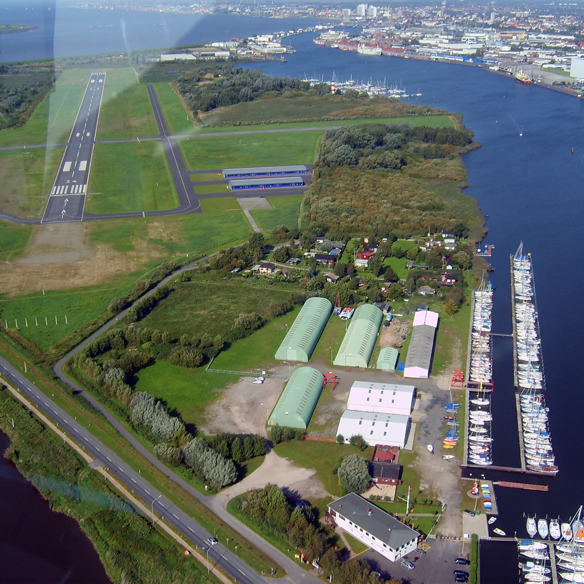
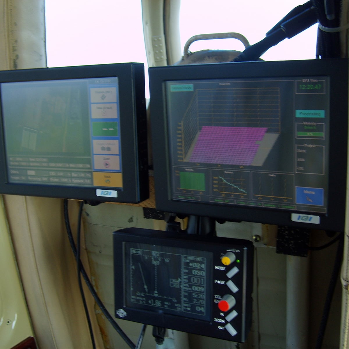
Transforming Geo Information into Solutions Since 1923, Hansa Luftbild from Muenster, Germany, has stood for quality and expertise in geo information services around the world. Hansa Luftbild provides integrated solutions: we collect and process geographic data and make it usable for our customers. We stand for state-of-the-art technology and innovative concepts in the visualization of geospatial data and information. Our skills extend to the processing of geo information across the entire value chain: • Geo Consulting • Project Management • Aerial Surveys • Mobile Mapping • Photogrammetry • Geo Information • Geo Software Services From consulting to data acquisition to the finished system Hansa Luftbild is a modern and innovative company with the distinction of being the oldest aerial survey company in the world. We stand for customer orientation and think not in terms of products or departments, but in terms of solutions from our customers’ point of view. We develop innovative concepts and stand for the high quality of our services.
State of the Art. Worldwide.
Since 1923
How to contact us
Nevinghoff 20,
48147 Münster
- +49 251 2330-0
- +49 251 2330-112
- info@hansaluftbild.de
- www.hansaluftbild.de


-
Amprion A-NORD
Germany 2018-2019 -
Existing infrastructure
Ireland, 2010 - 2011 -
Mapping and monitoring
Germany, 2015 -

Video
Airborne Laser Scanning -
Planned infrastructure
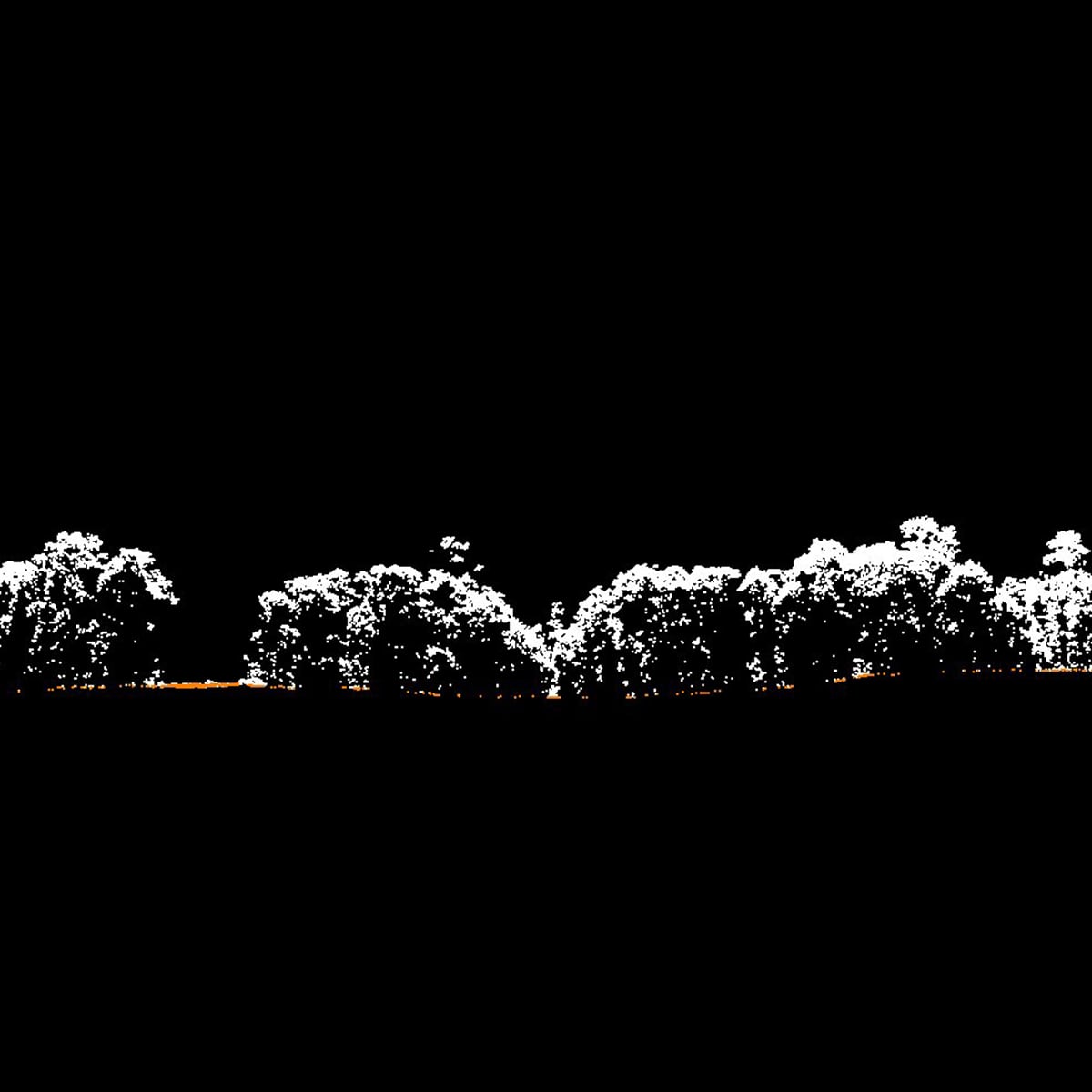
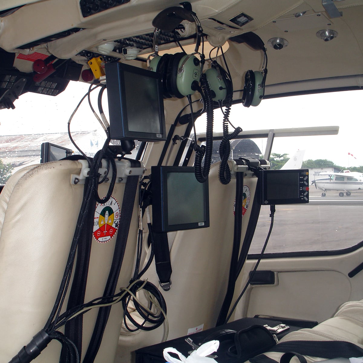
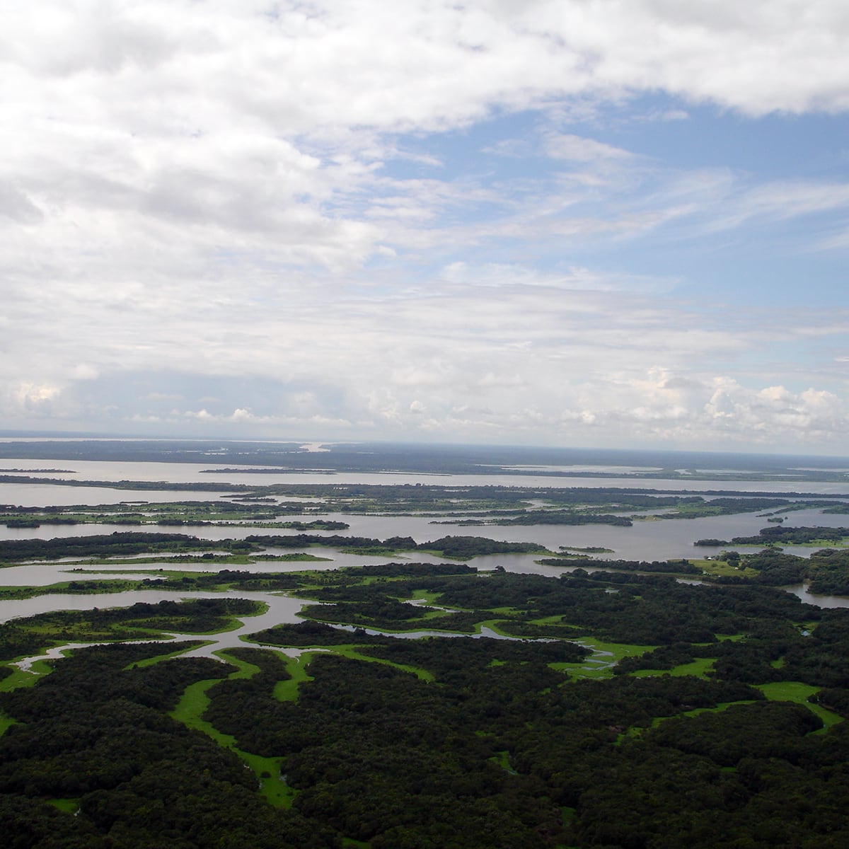
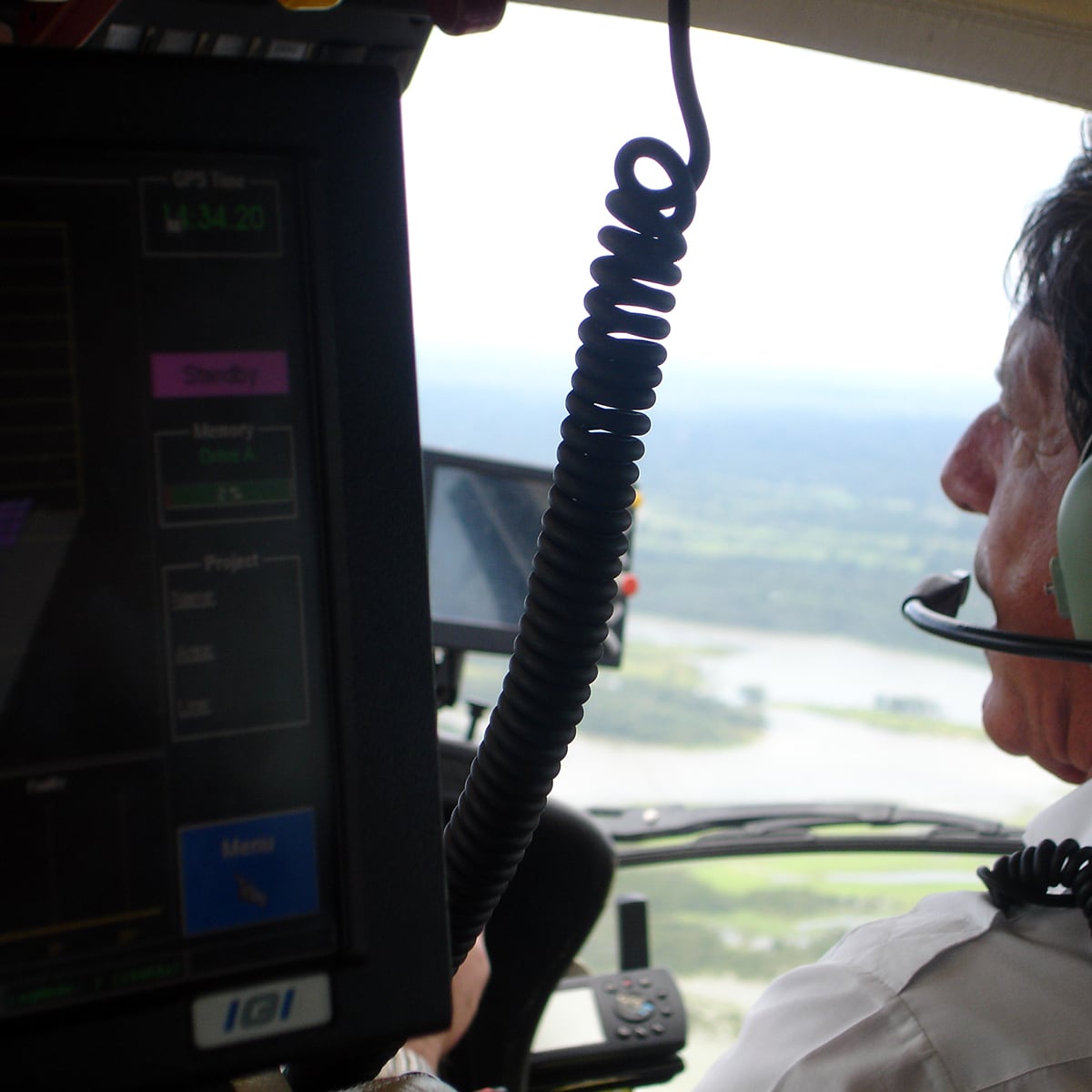
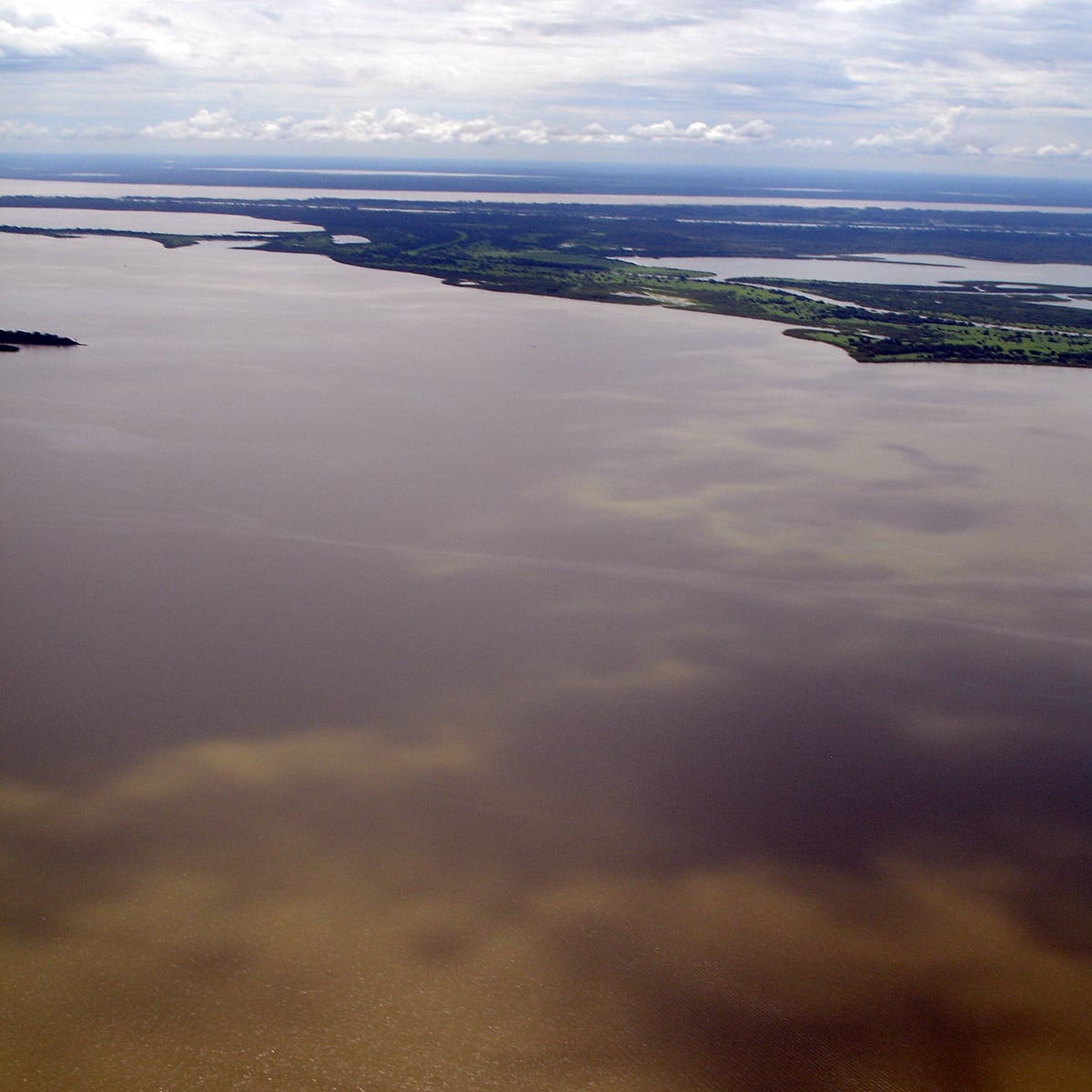
Brazil, 2007 - 2008 -
Mapping and monitoring
Austria, 2021 -
Planned infrastructure
Germany, 2016 - 2017 -
Video
Airborne Laser Scanning -
its4land
Ruanda, 2016 - 2020 -
International GIS Consulting
Namibia, 2004 -

Academy Addis
Addis Ababa, 2016 - 2020 -
Borderline demarcation
Saudi Arabia, Oman and Yemen, 2001 - 2005 -
Measuring the sandy coast and estuaria
Netherlands, 2011 - 2017 -
Exchange of territory East and West Germany
Germany, 1988 - 1989 -
Ground Penetrating Synthetic Aperture Radar (GPSAR)
-

Pulsed Laser Light (sniffers)
-
Swarm drones GPSAR mapping-analyzing-trigger
-
Existing facility
Ghana, 2011 -
Digital Terrain Model
Ivory Coast, 2012 -
Digital Terrain Model
Bosnia, 2015 - 2021 -
Dubai Urban Master Plan
Dubai, 1995 - 2000 -
Port GIS for harbors
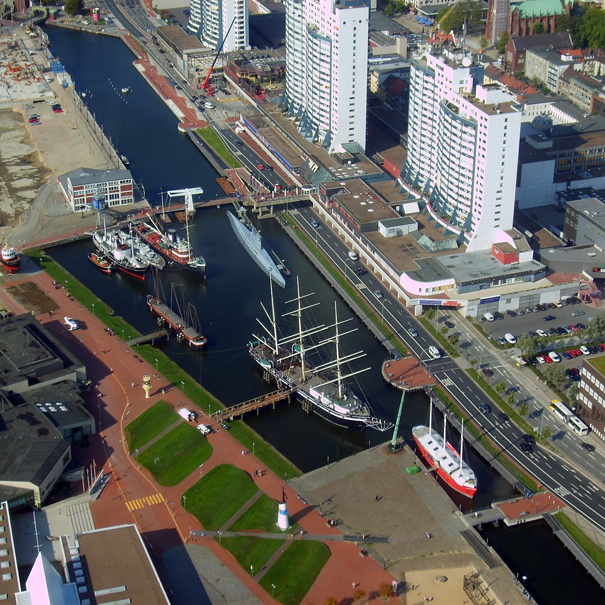
Bremen and Bremerhaven, Germany, since 2005 -
Airborne LiDAR (3D Mapping) survey of railway corridors
Ethopia, 2009 - 2010 -
Analysis
Ethopia, 2015 - until now -

Land information system
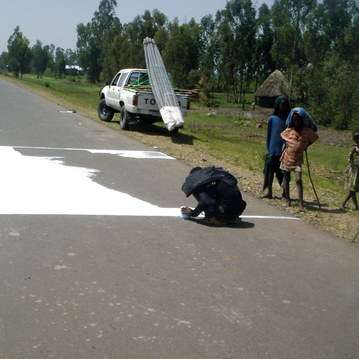
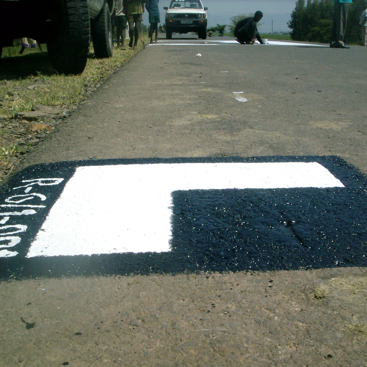
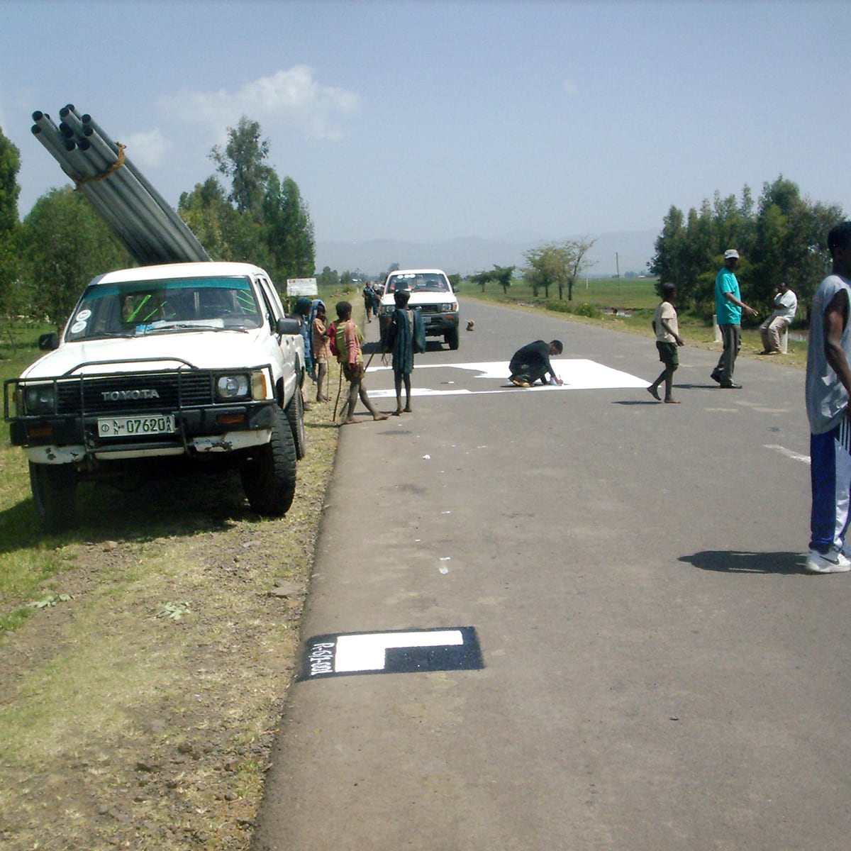
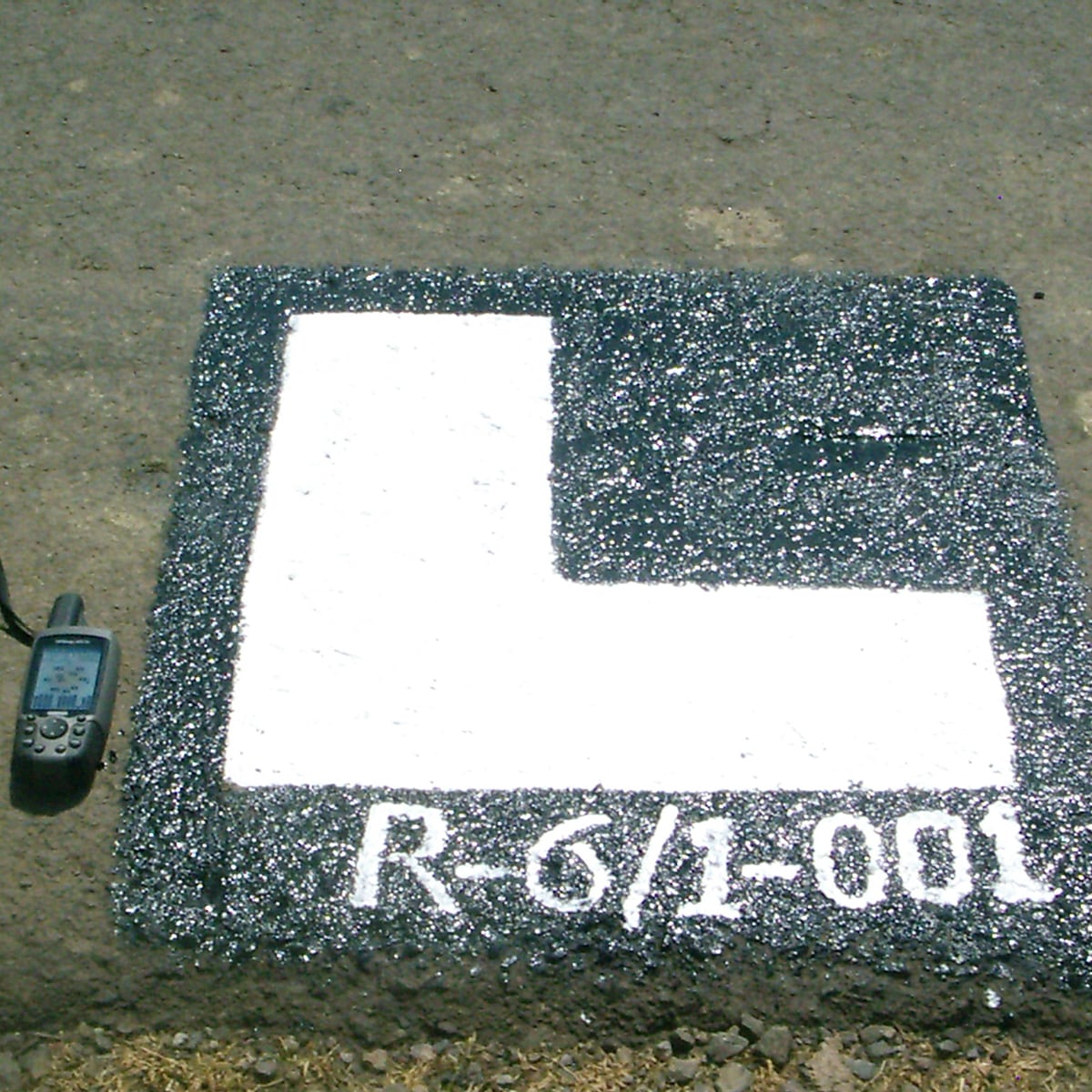
Ethopia, Addis Ababa, 2015 -

National cadastre
Greece, 2015
-
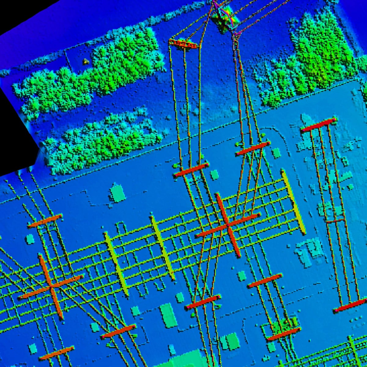
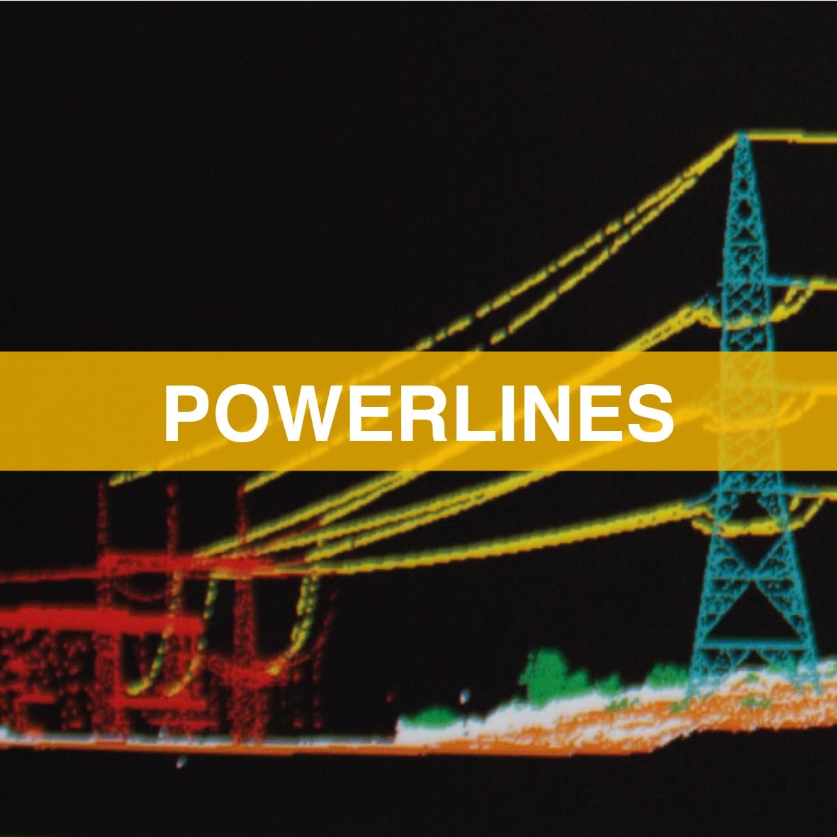
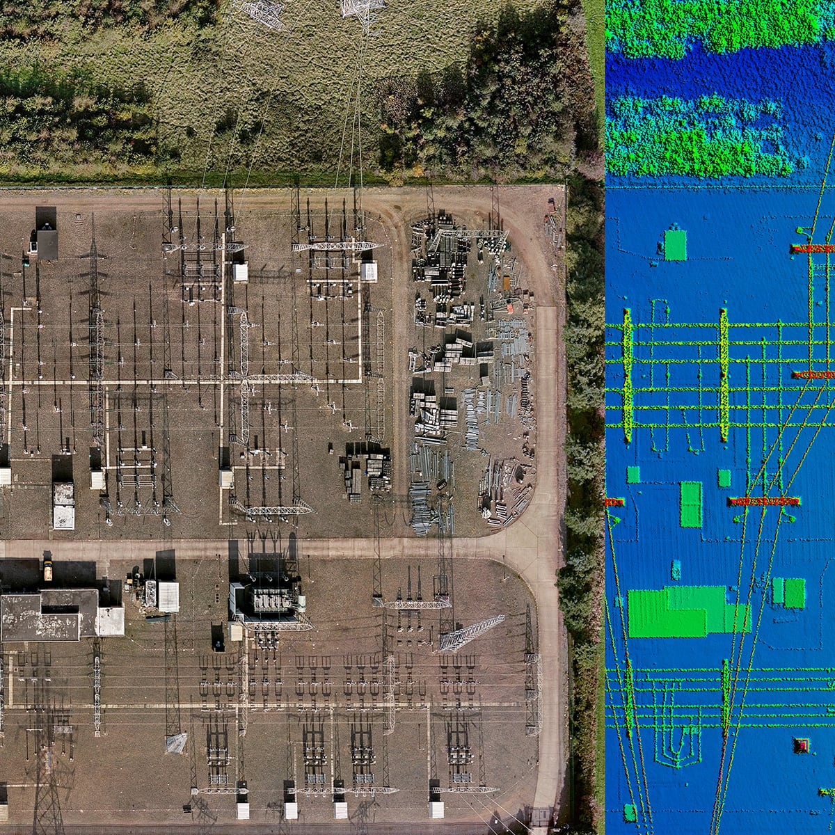
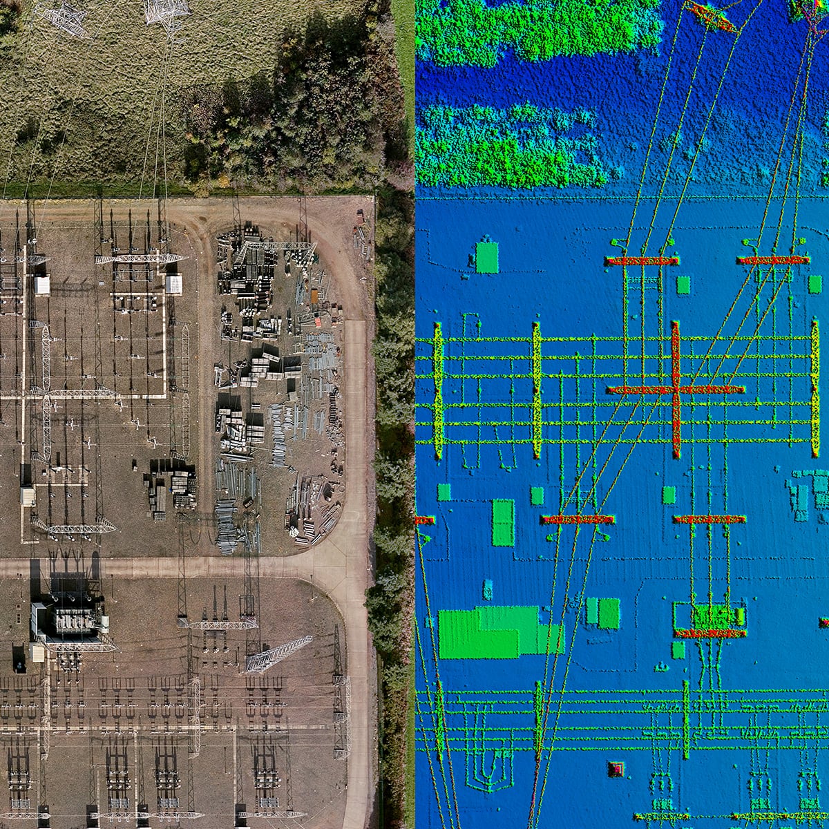
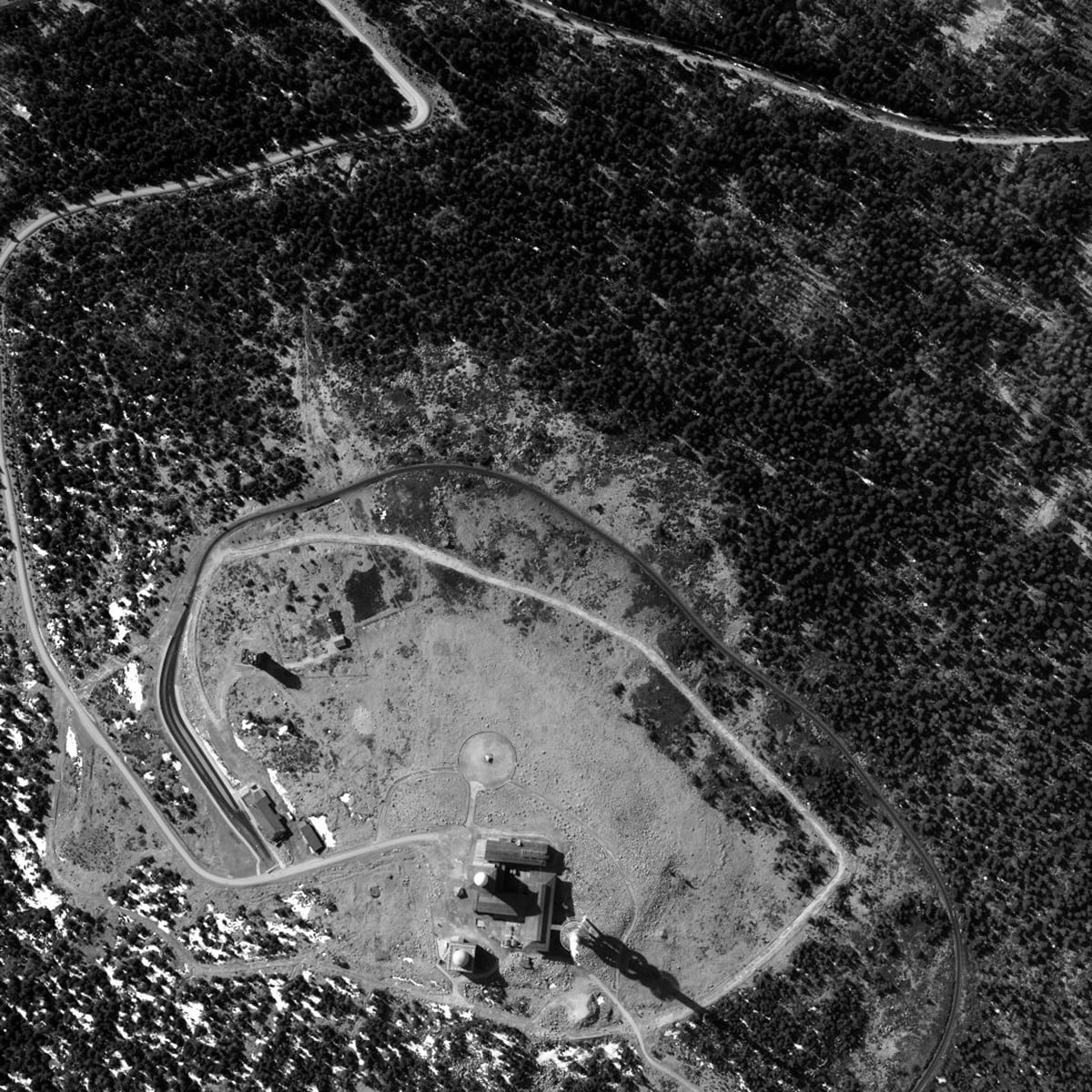
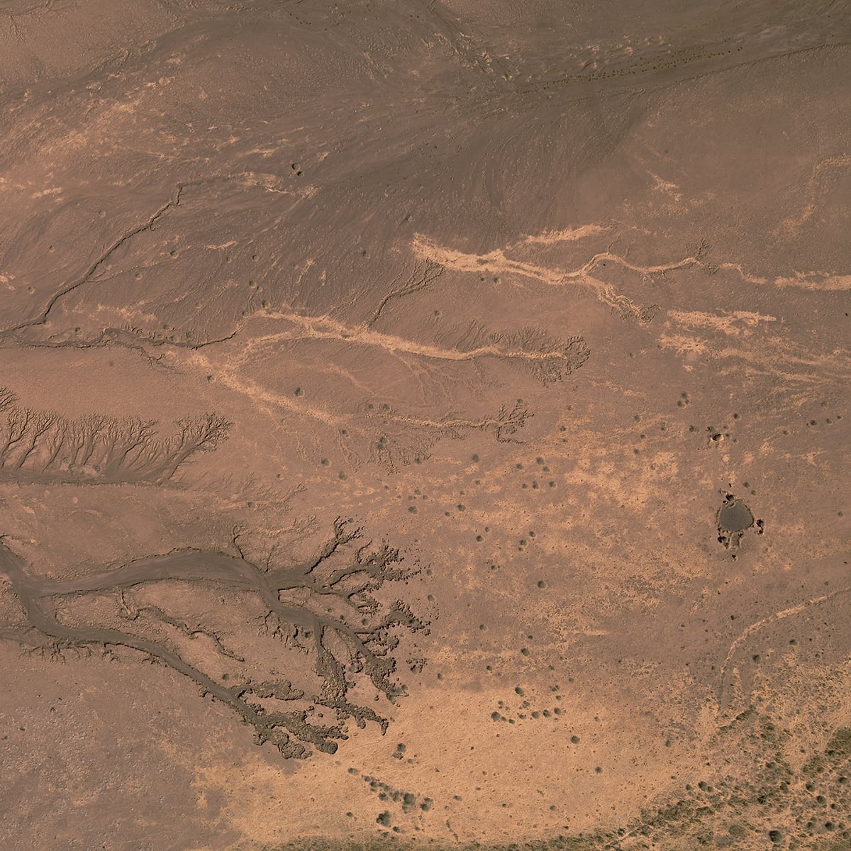
Amprion A-NORD
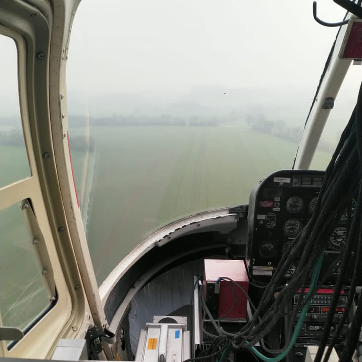
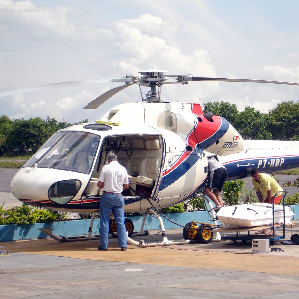
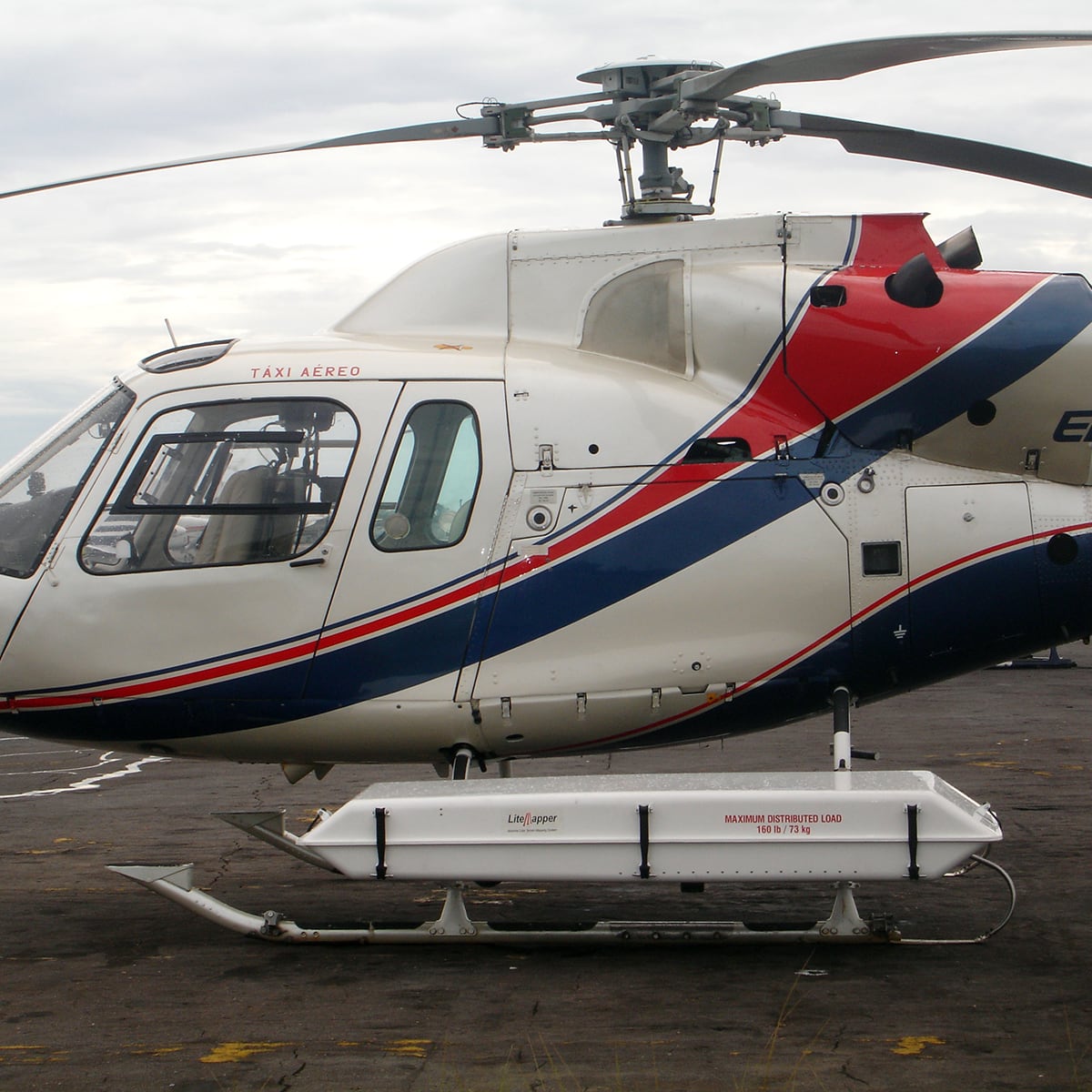
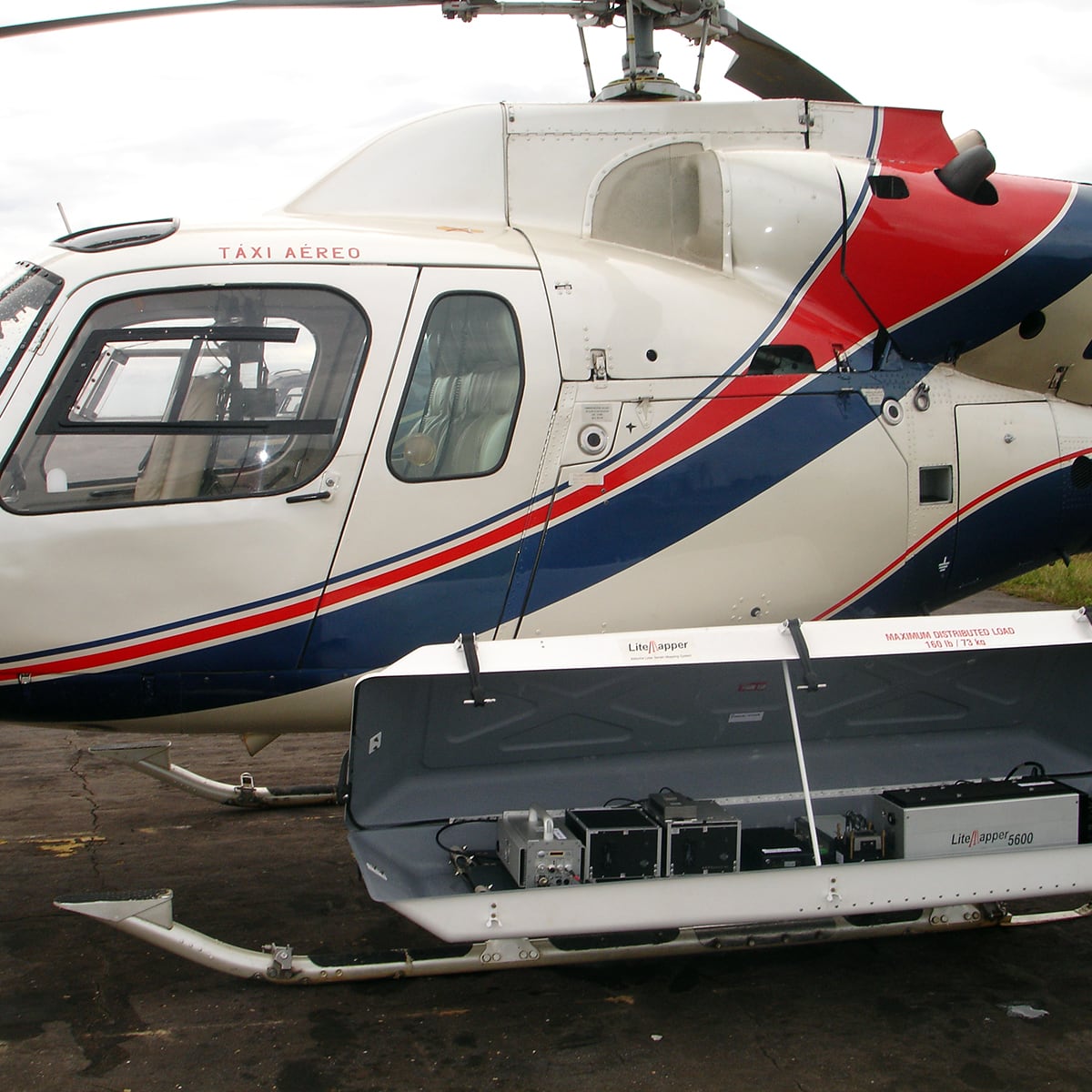
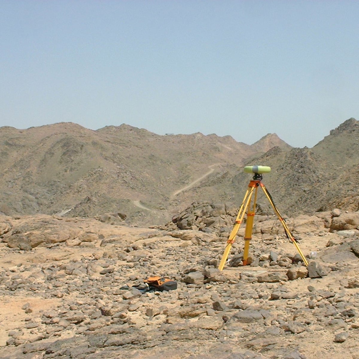
Germany, 2018 - 2019 PowerlinesPlanning of powerlines, 854 km², point density 12 per m², DOP 5 cm GSD
Details:Hansa Luftbild
-
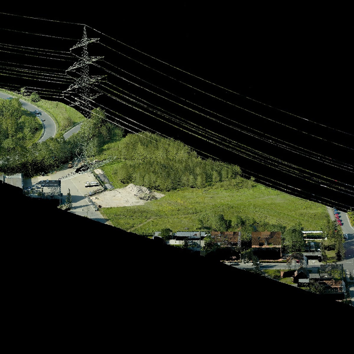
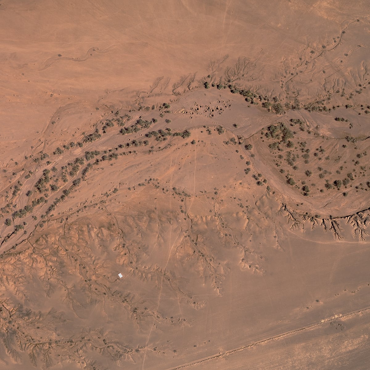
Existing infrastructure
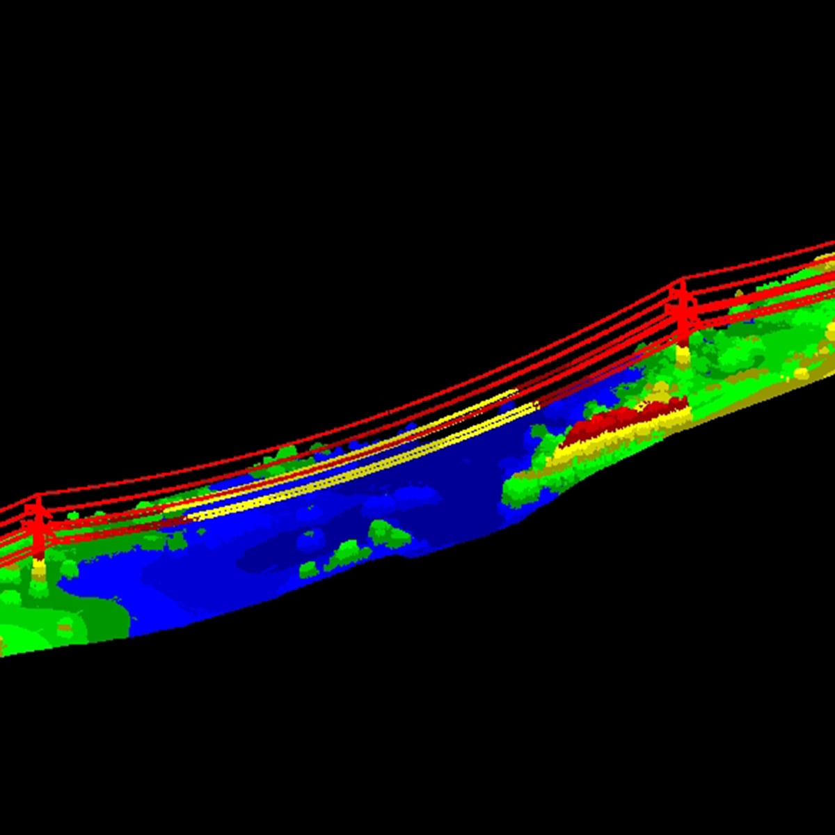
Ireland, 2010 - 2011 Powerlines960 km, point destiny 20 per m2, DOP 5 cm GSD, Obstacle-Mapping
Details:Hansa Luftbild
-
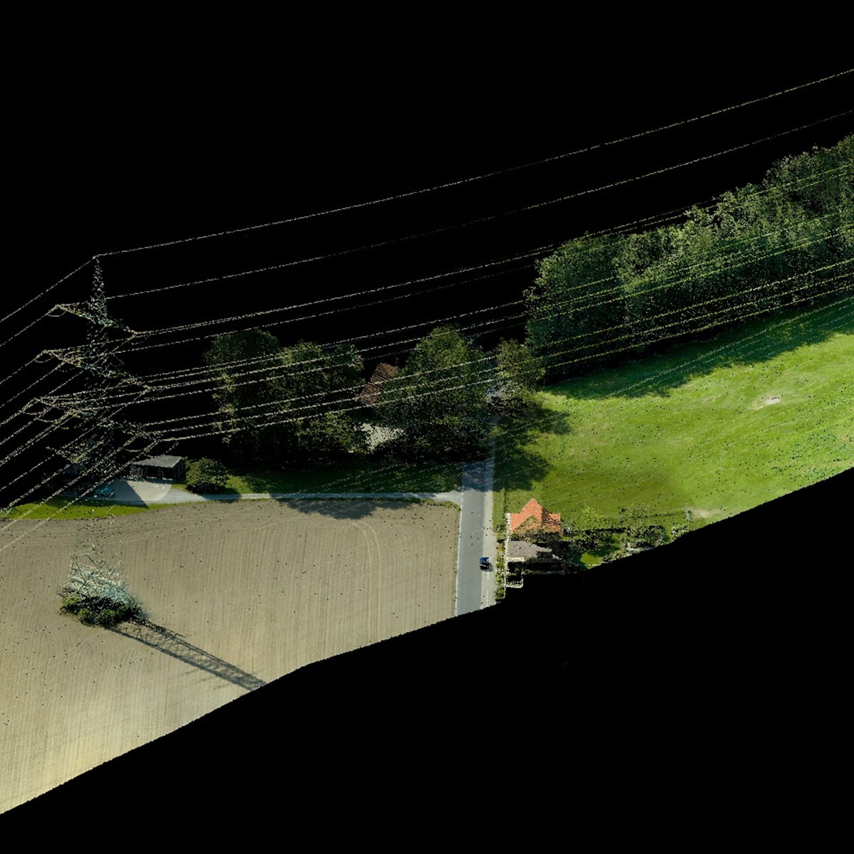
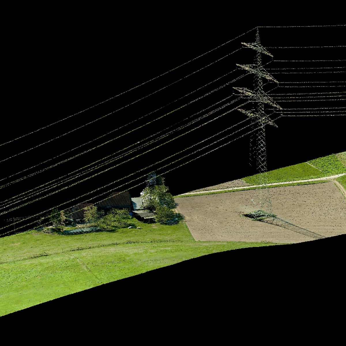
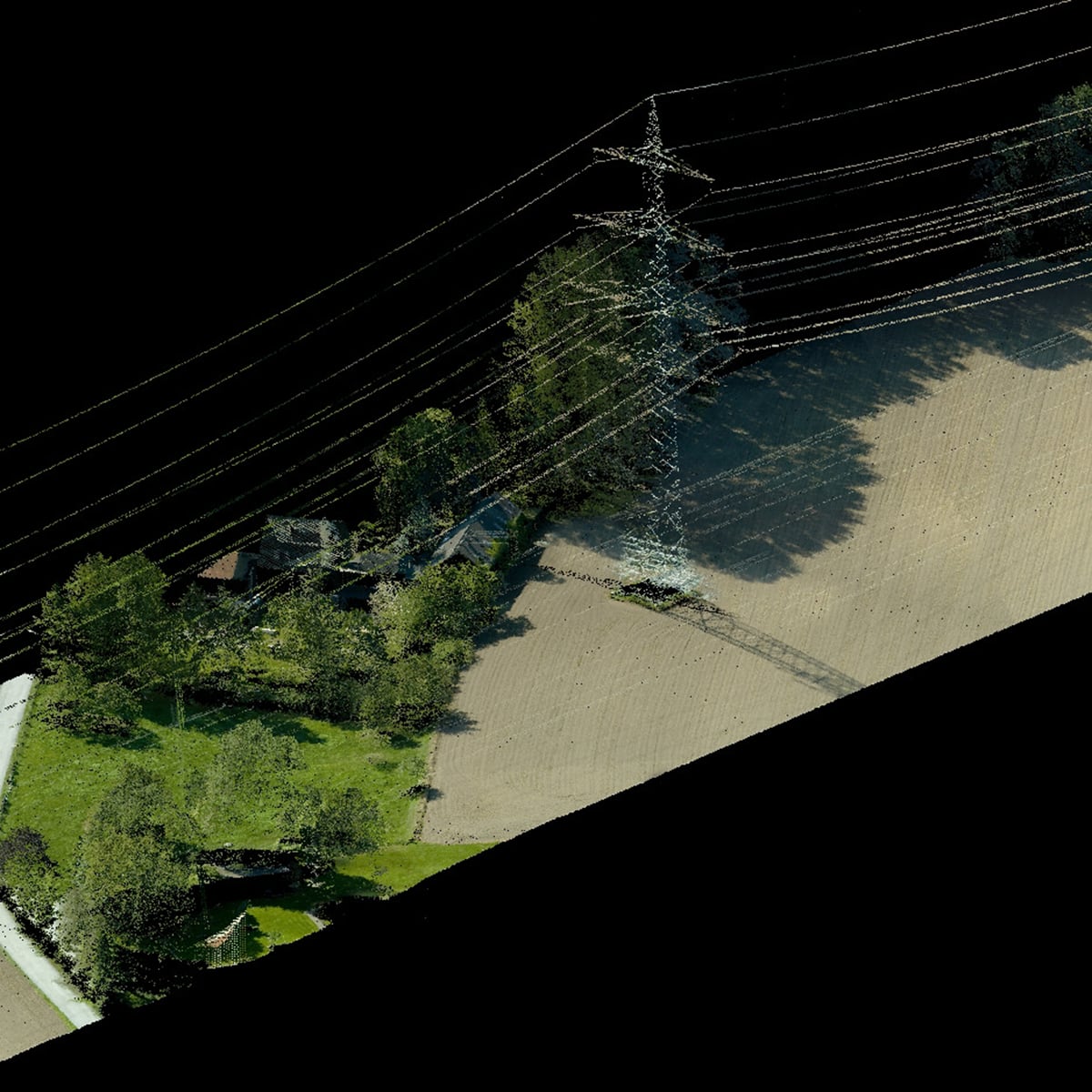
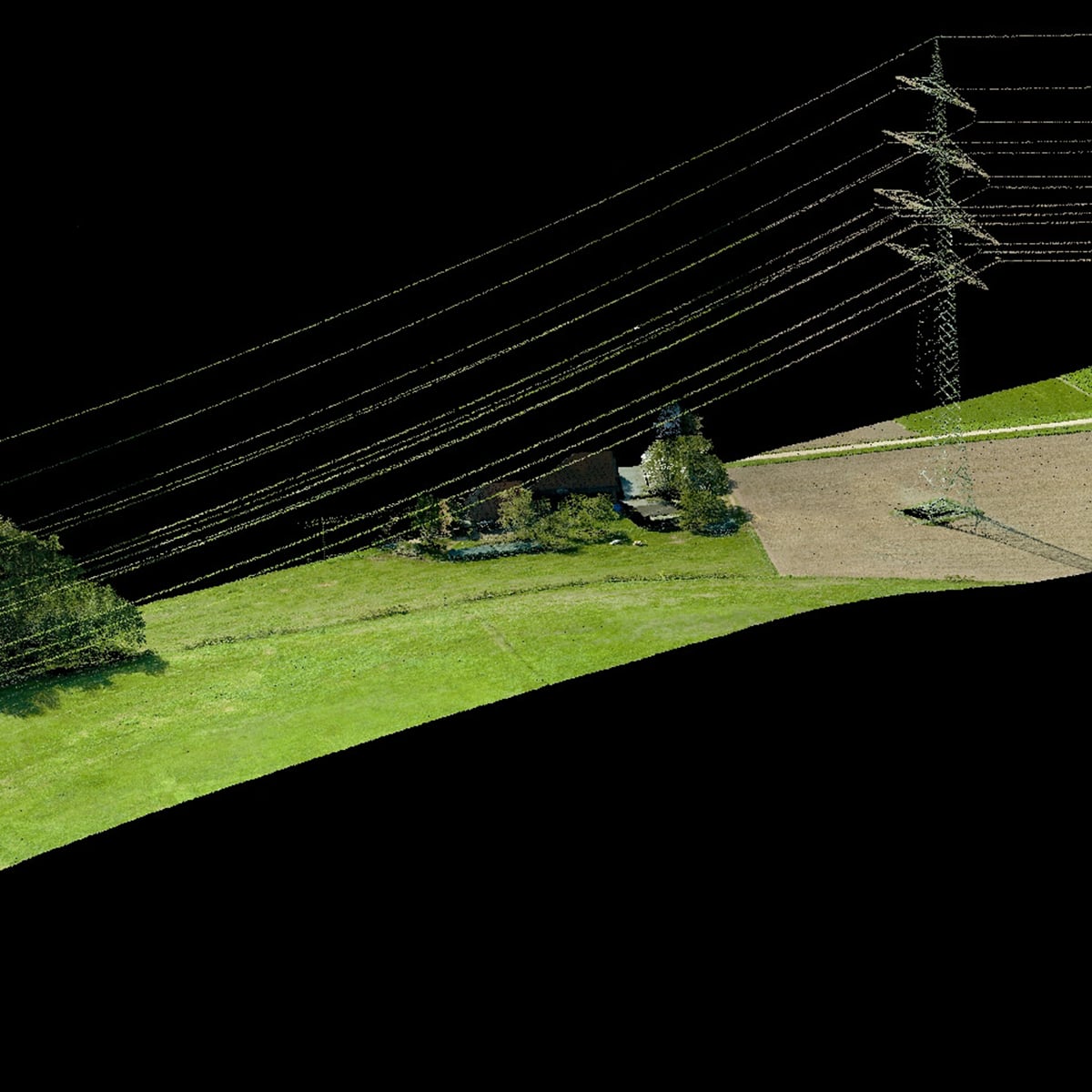
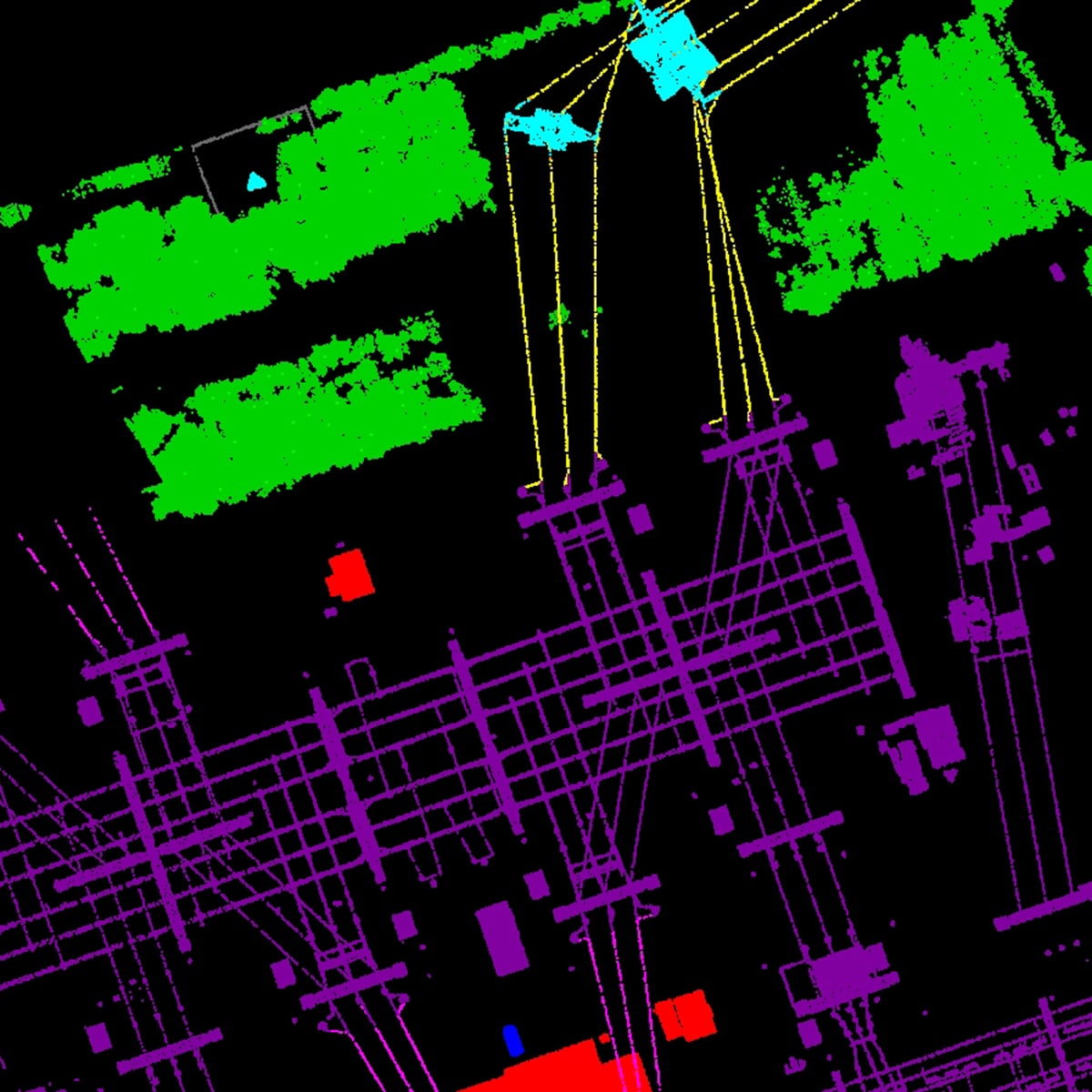
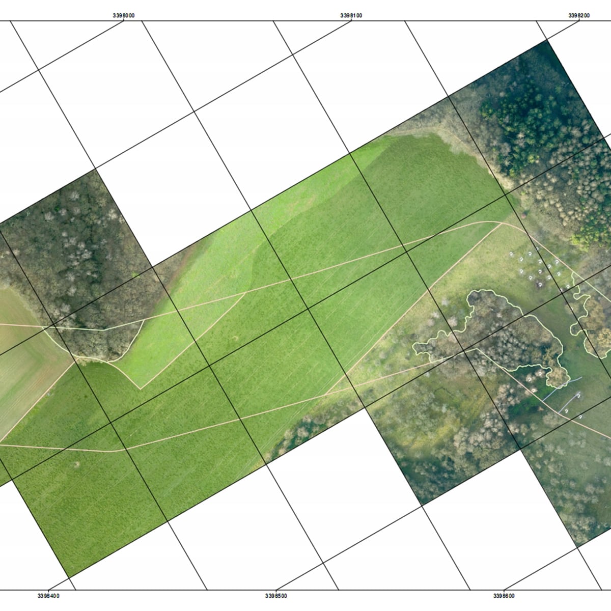
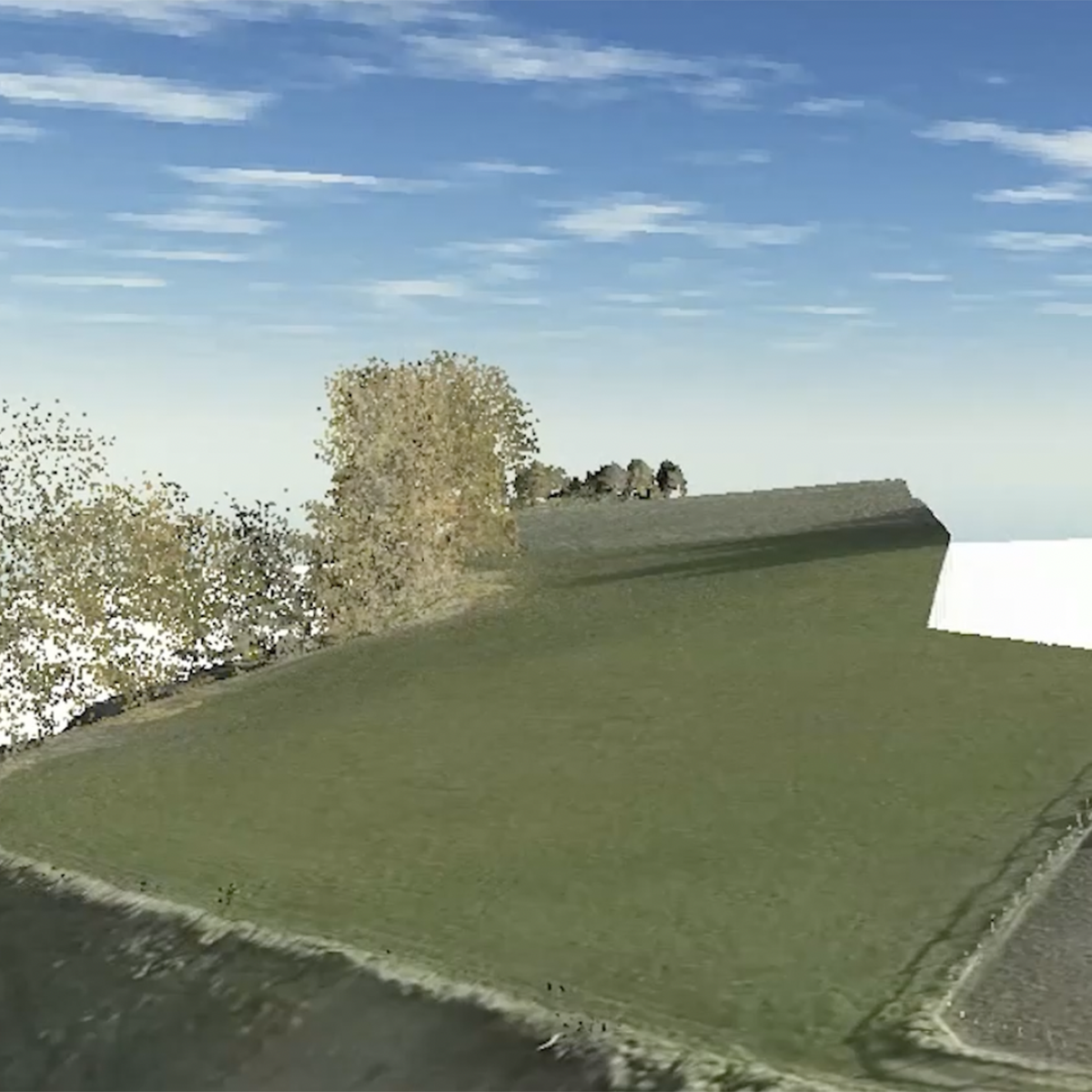
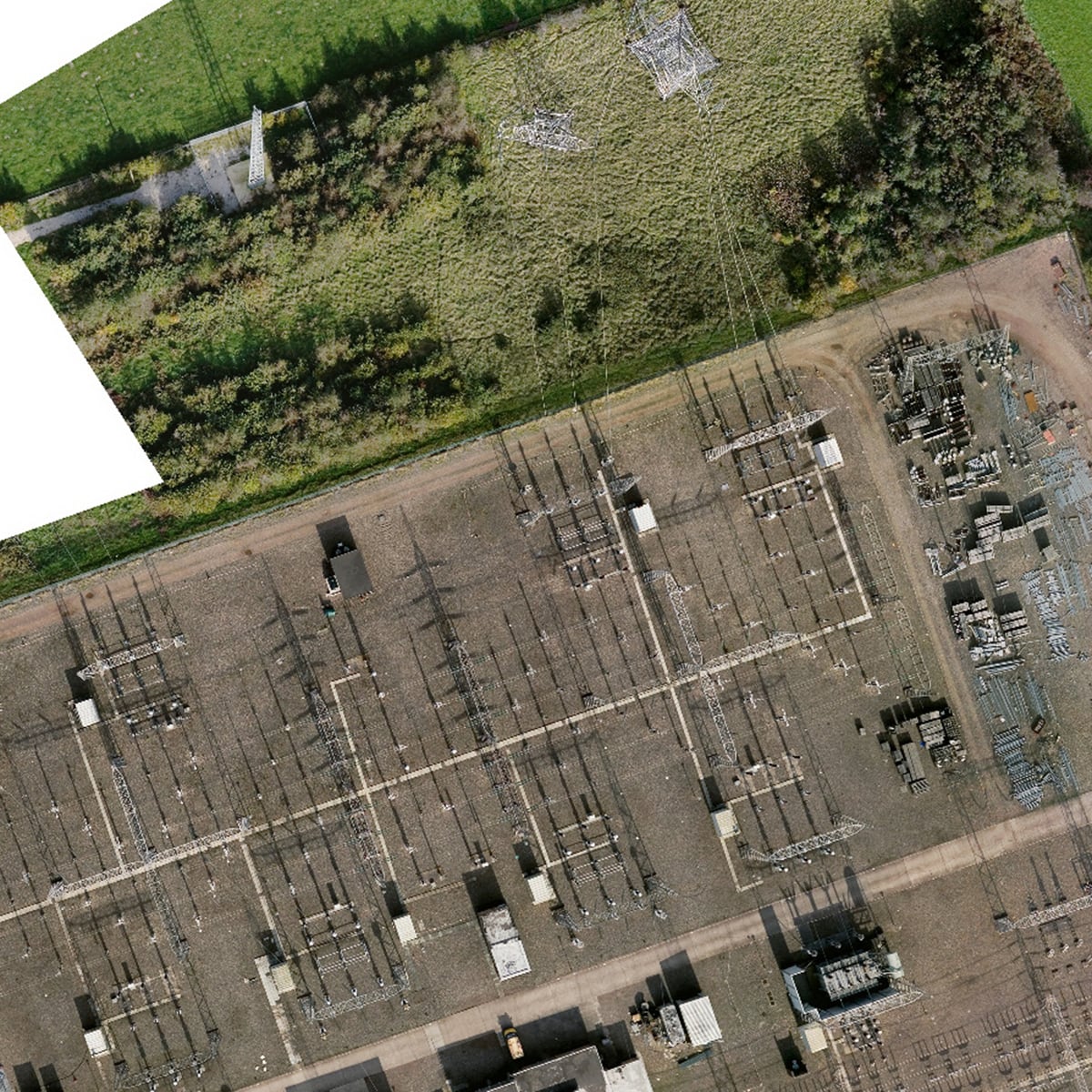
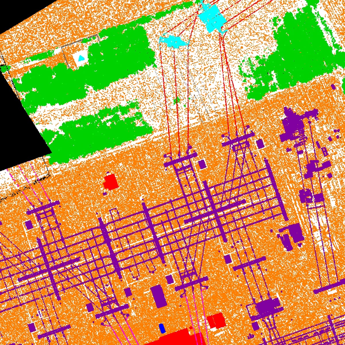
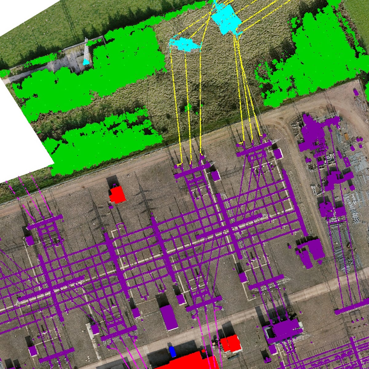
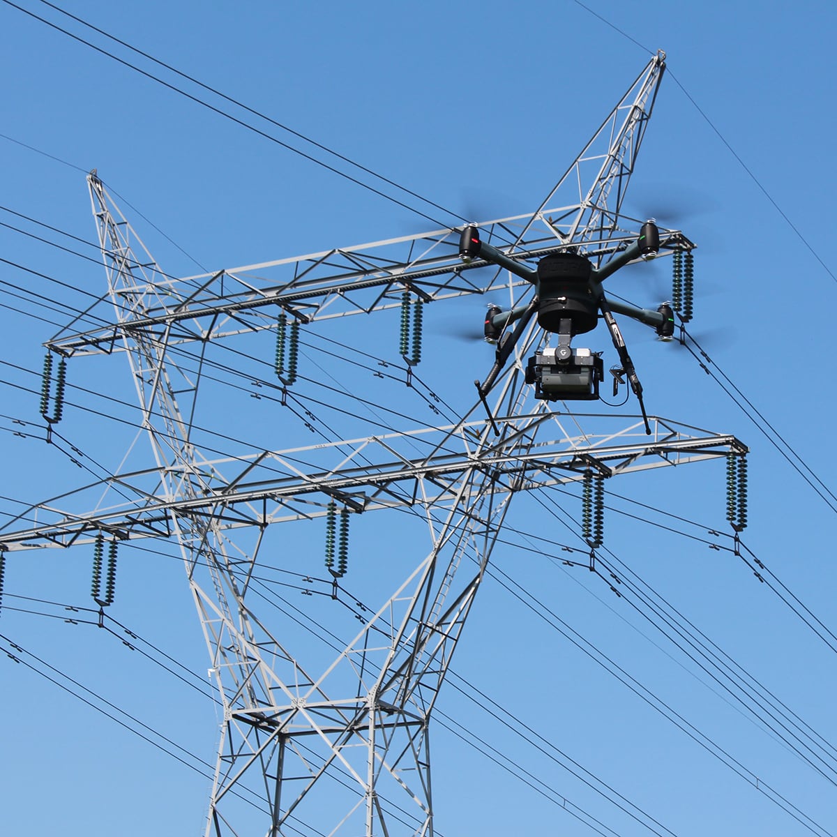
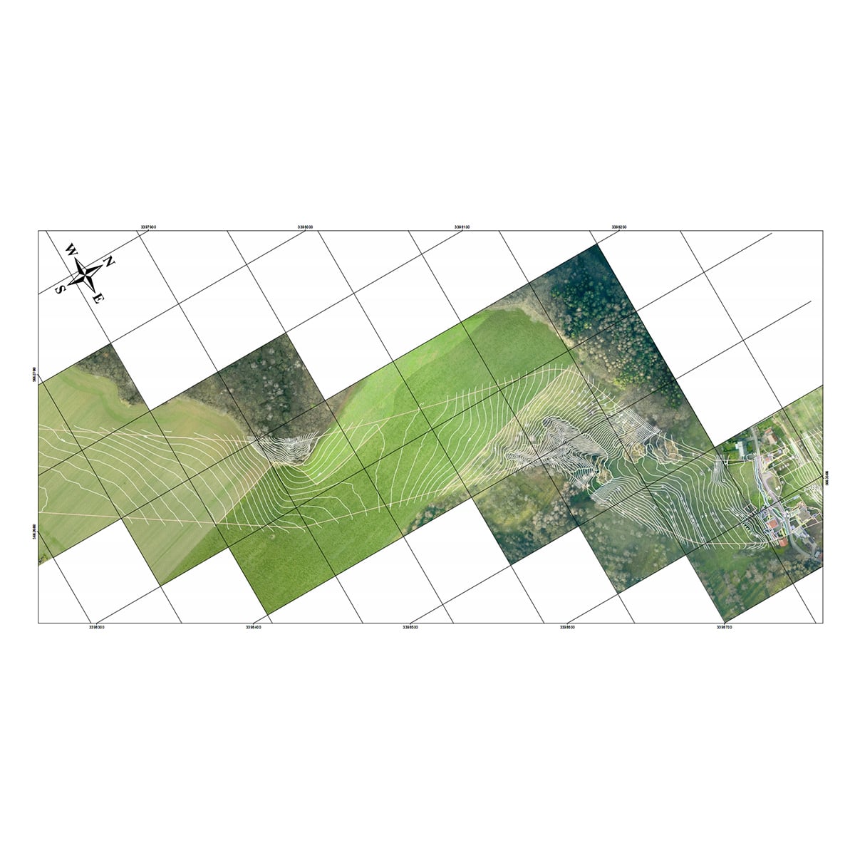
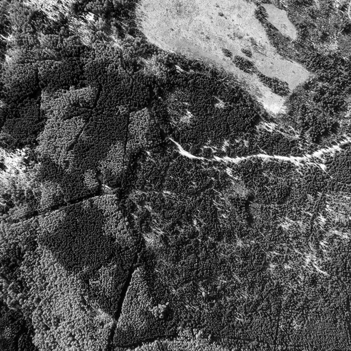
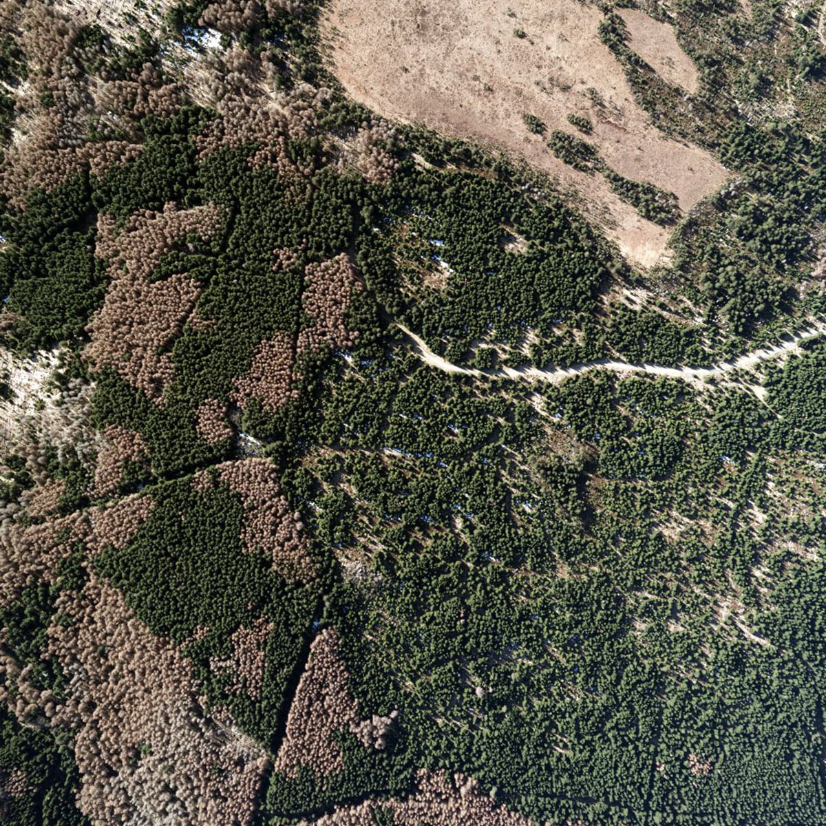
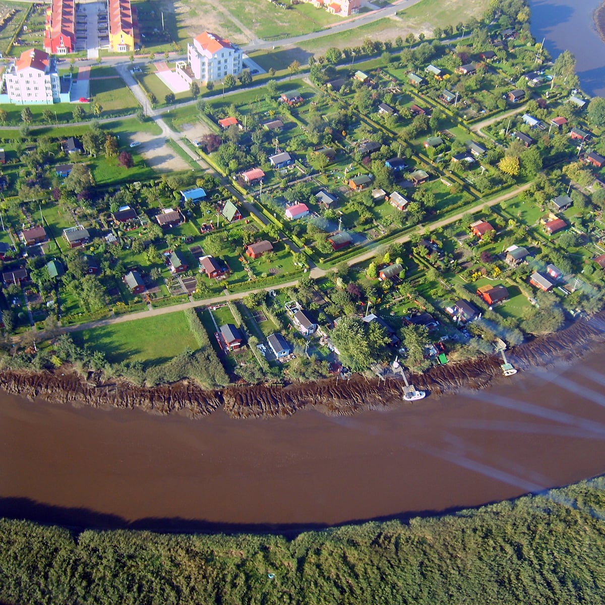
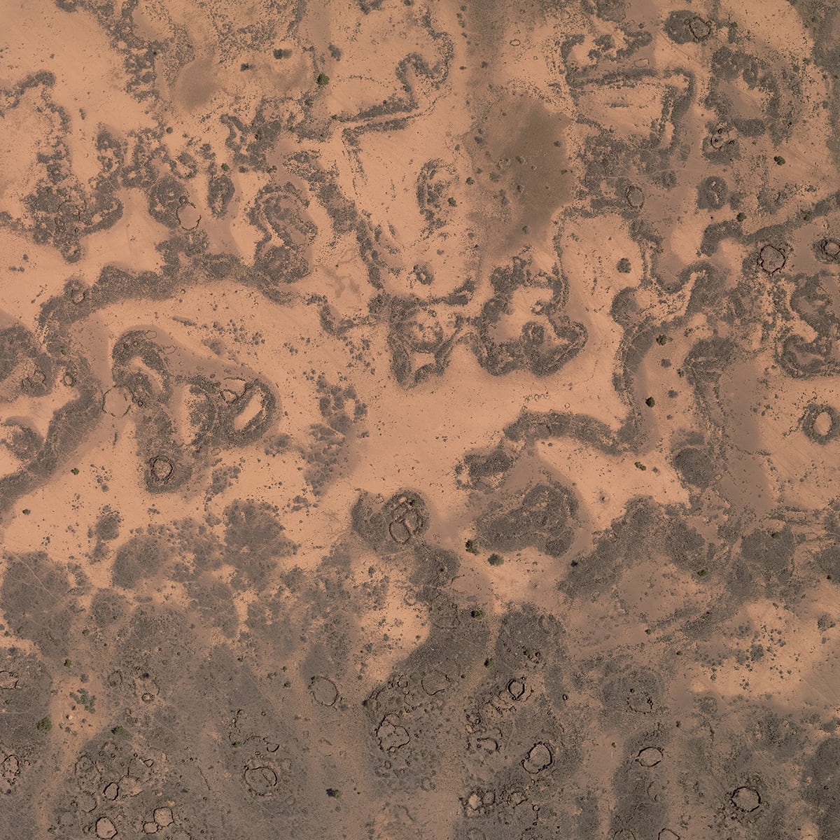
Mapping and Monitoring
Germany, 2015 PowerlinesMapping and monitoring of power grids with LiDAR and Aerial Imagery
Details:277 km of overhead high voltage and extra high voltage powerlines, point density 25 per m2, DOP 5 cm GSD Customer: Amprion GmbH / imp GmbH Facts & Figures: • Completion in July 2015 • 277 km of overhead high voltage and extra high voltage powerlines • Laser point density 25 pt/m² • Ground resolution aerial images ~ 5 cm • Total accuracy less 10 cm Hansa Luftbild
-
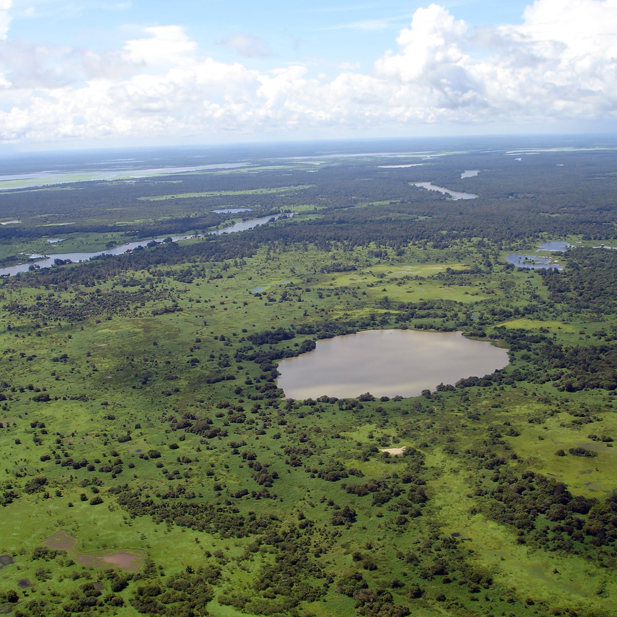
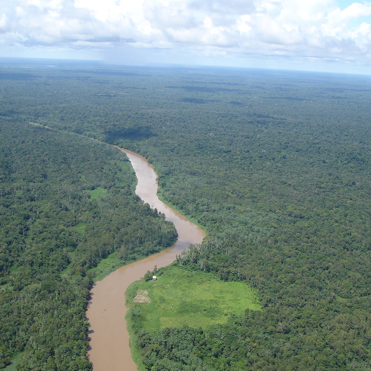
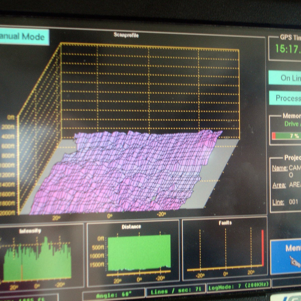
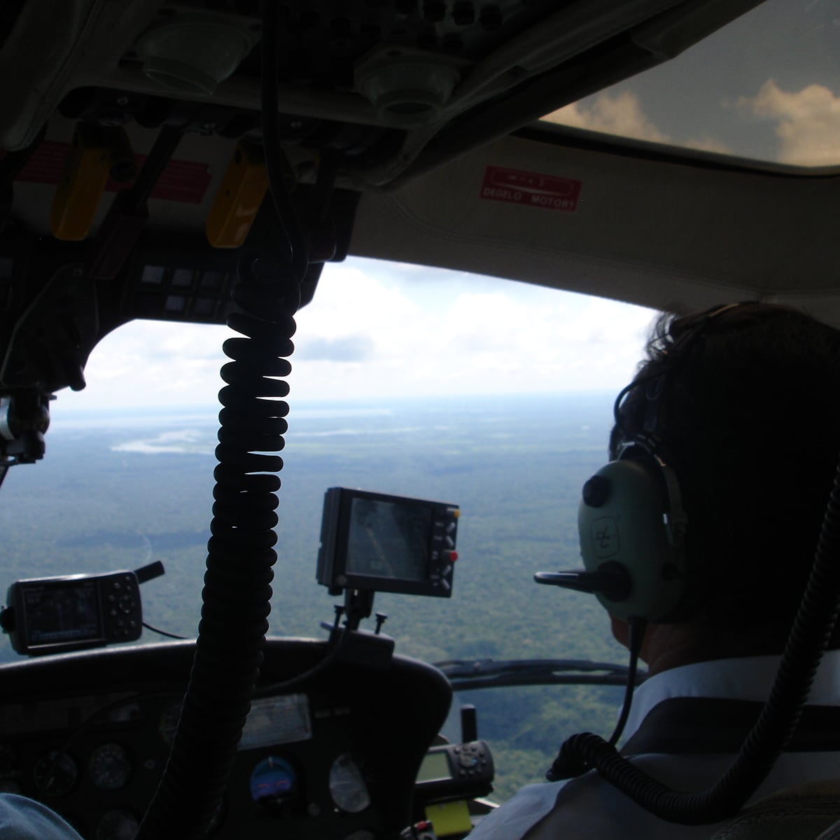
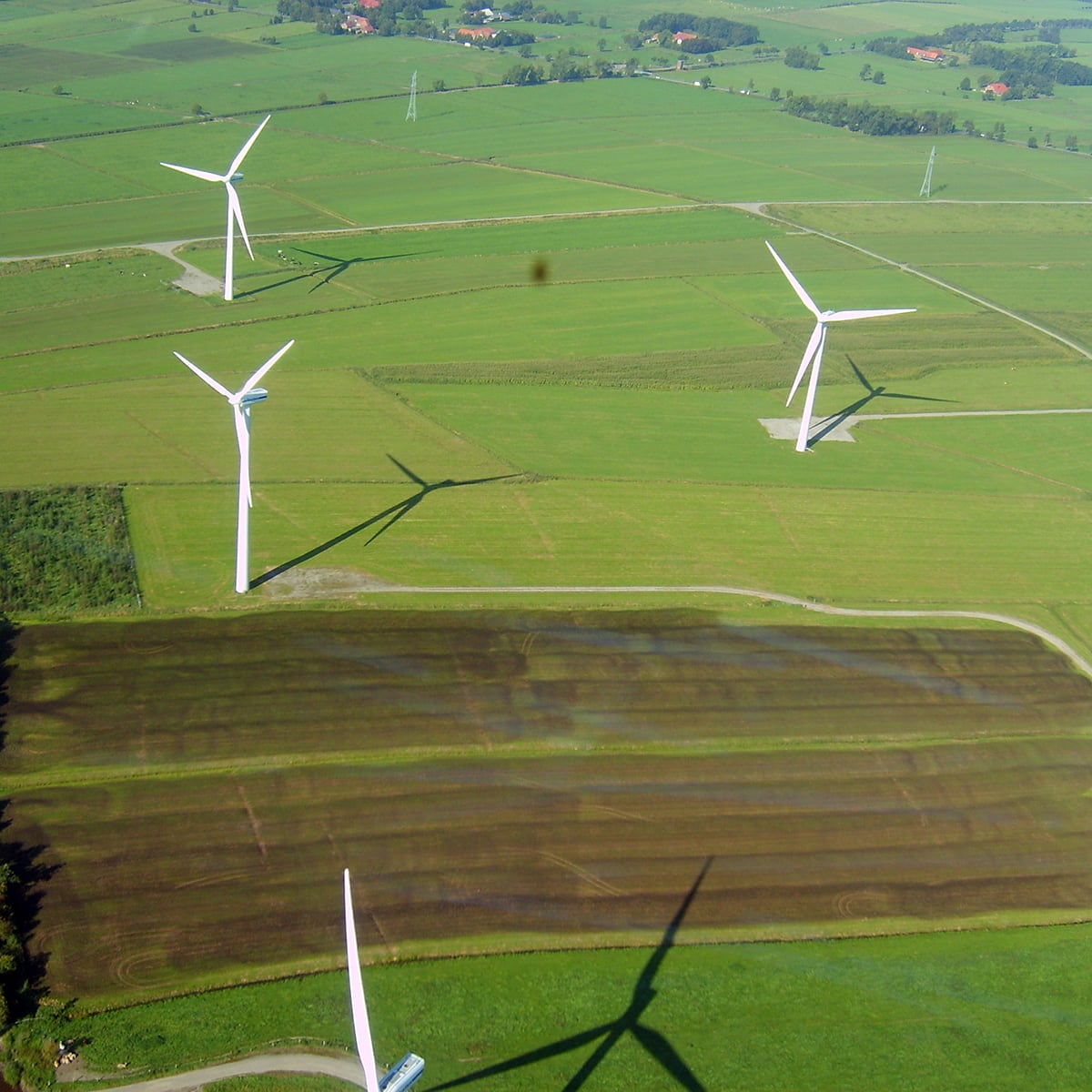
Planned Infrastructure
Brazil, 2017 - 2018 Pipelines500 km, point density 16 per m², DOP 5 cm GSD, Obstacle-Mapping
Details:Hansa Luftbild
-
Mapping and Monitoring
Austria, 2021 Pipelines120 km, point density 25 per m², DOP 5 cm GSD
Details:Hansa Luftbild
-
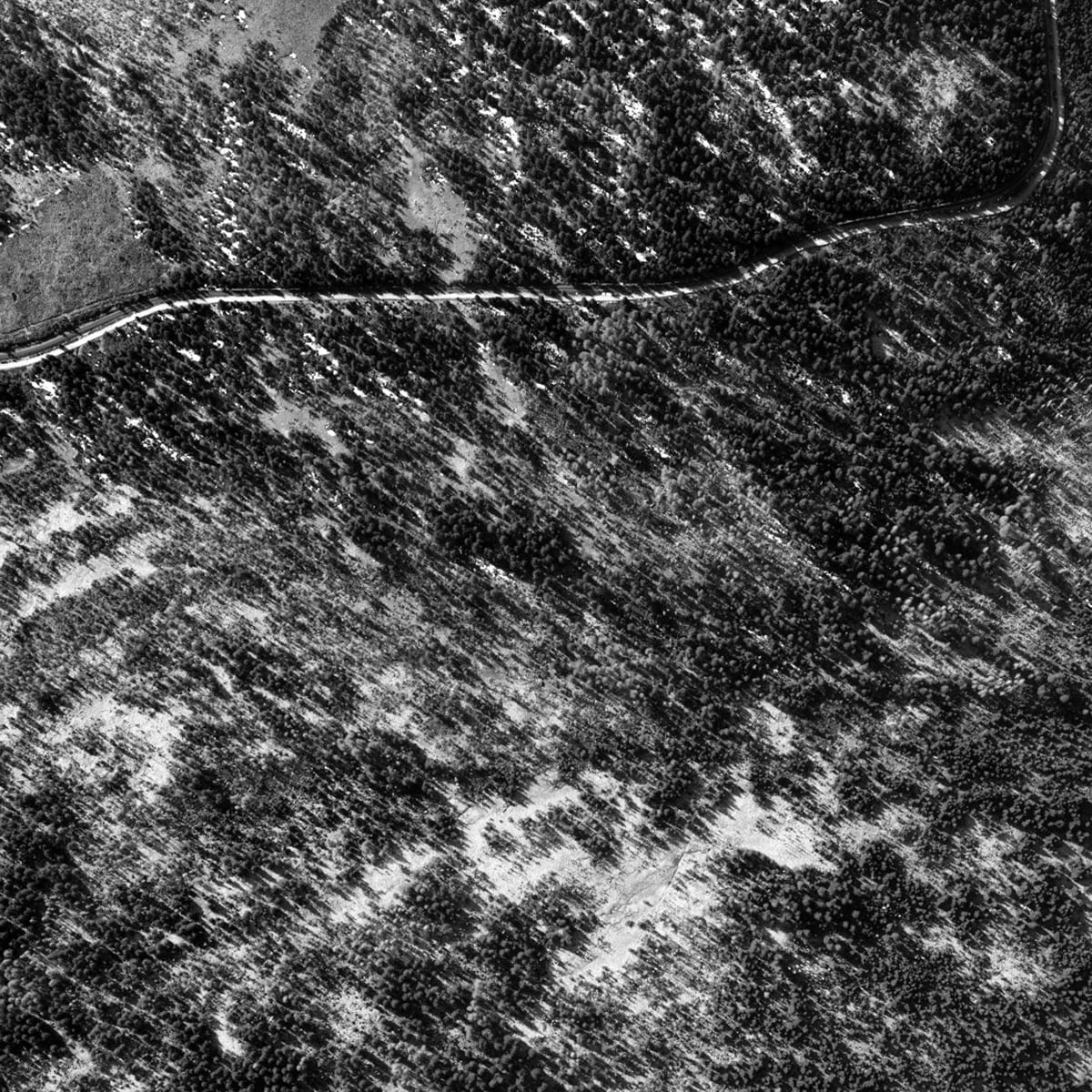
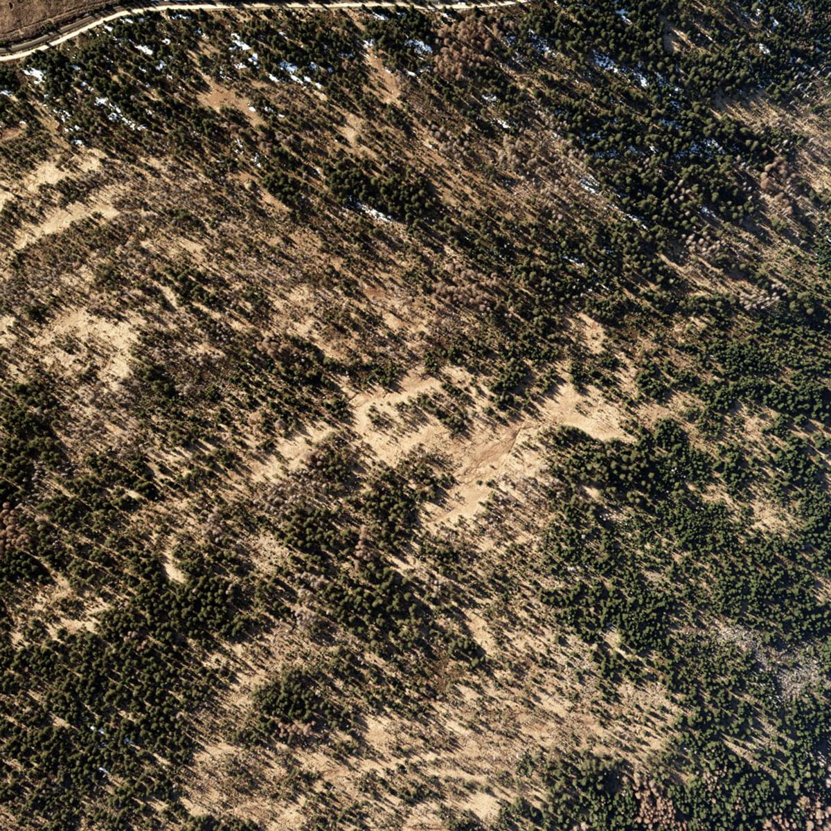
Planned Infrastructure
Germany, 2016 - 2017 PipelinesNorth Stream, 663 km2, point density 11 per m2, DOP 7 cm GSD
Details:Hansa Luftbild
-
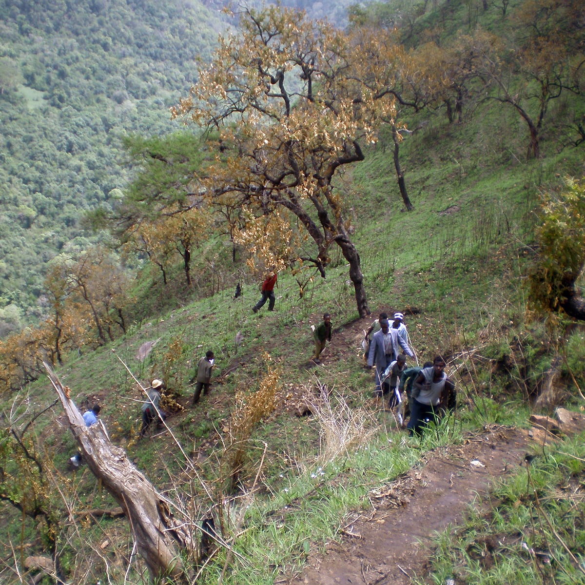
its4land
Ruanda, 2016 - 2020 AcademyTraining of governmental personnel including software training. 27 persons.
Details:Hansa Luftbild
-


International GIS Consulting
Namibia, 2004 AcademyFormation of governmental and municipality organizations including software development. 20 persons.
Details:Hansa Luftbild
-
Academy Addis
Addis Ababa, 2016 - 2020 AcademyFormation of governmental and municipality organizations including software development. 20 persons.
Details:Hansa Luftbild
-
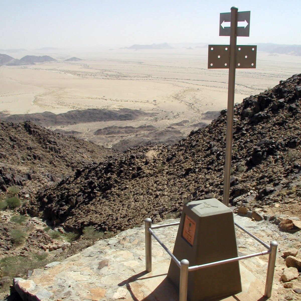
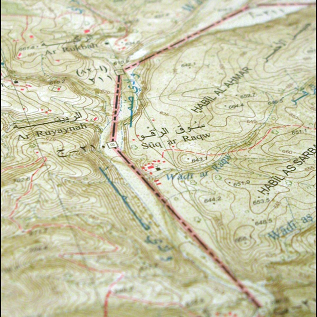
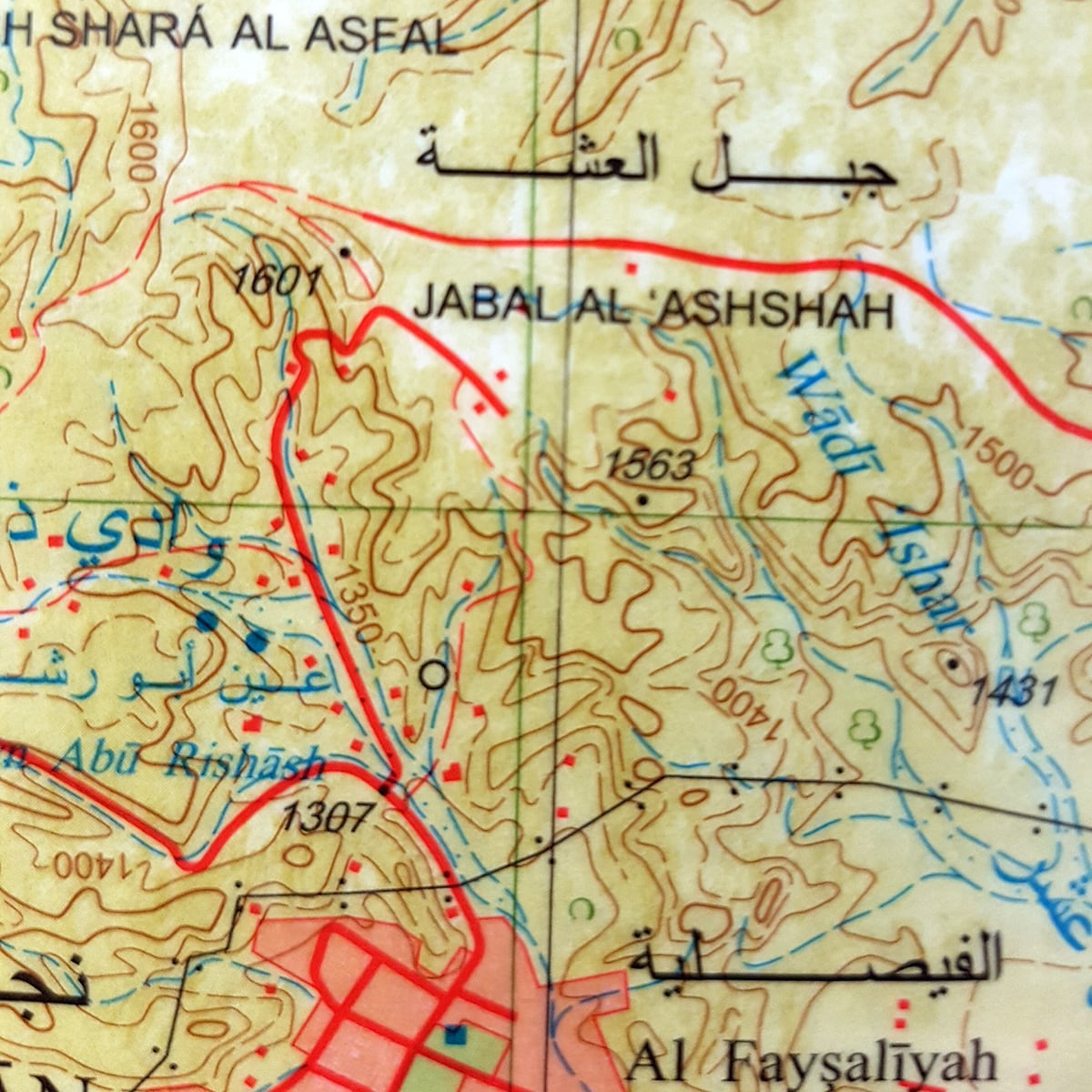
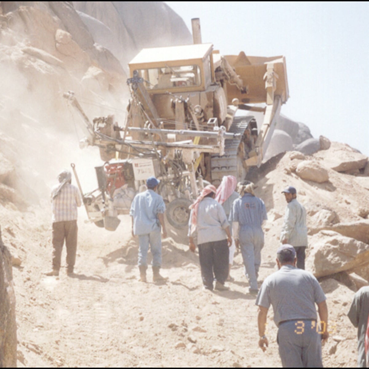
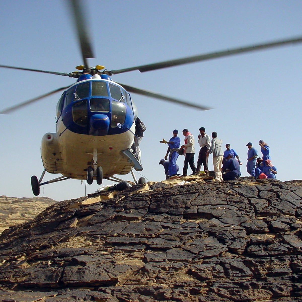
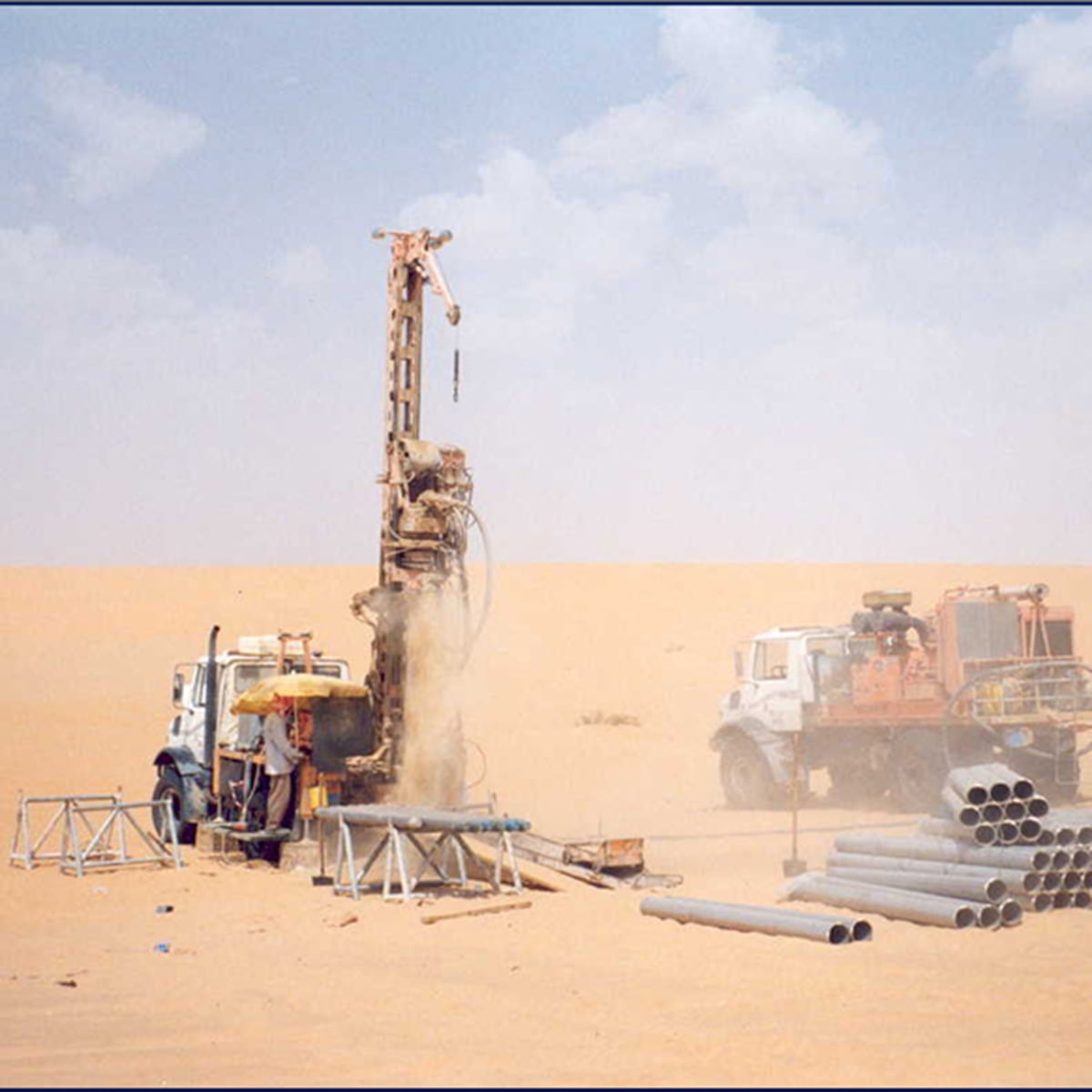
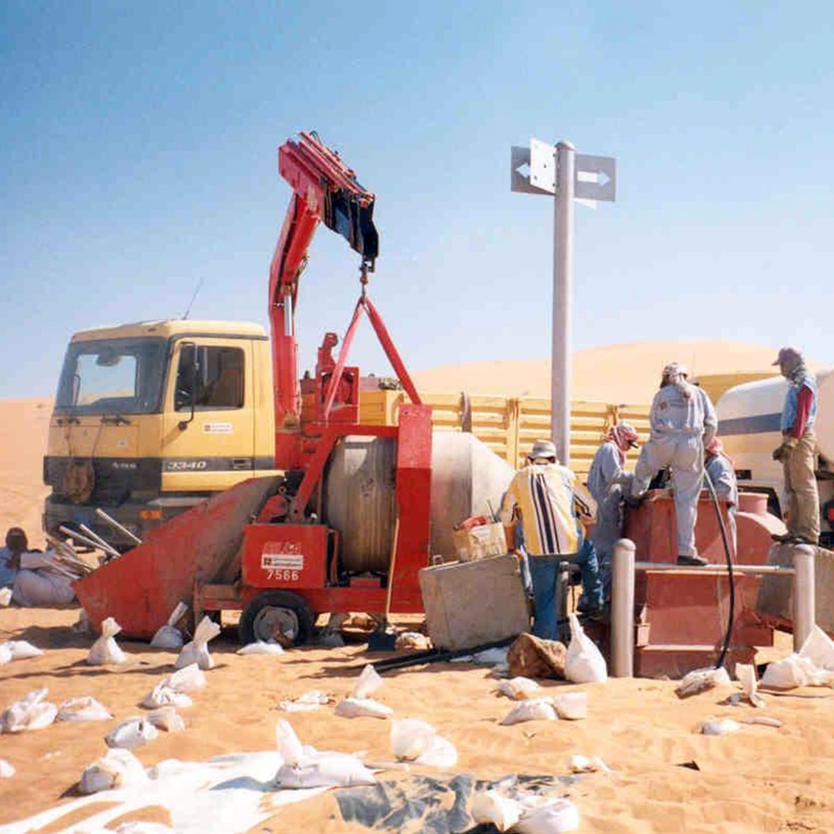

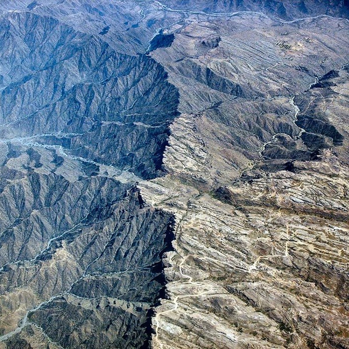
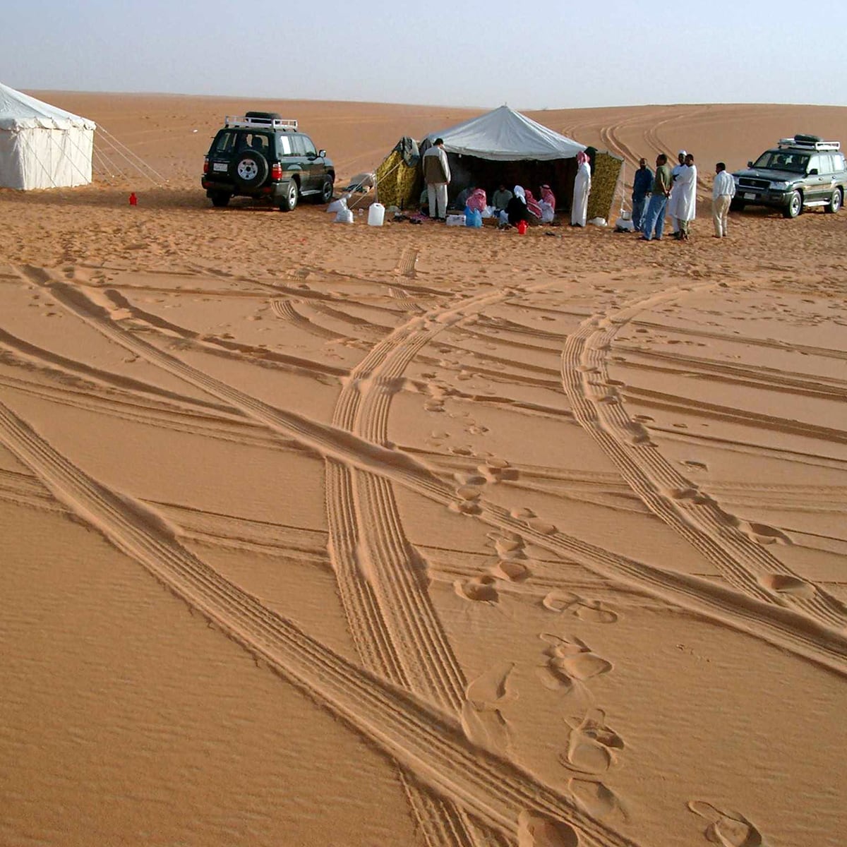
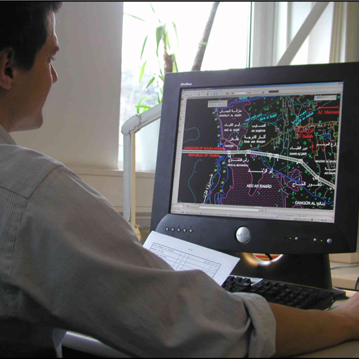
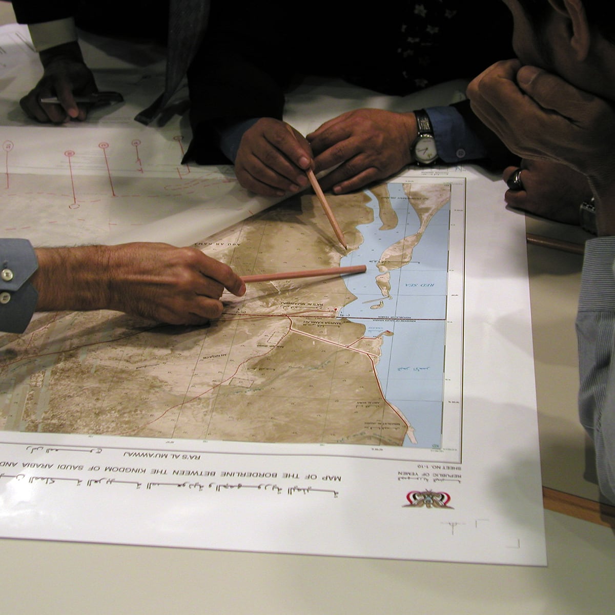

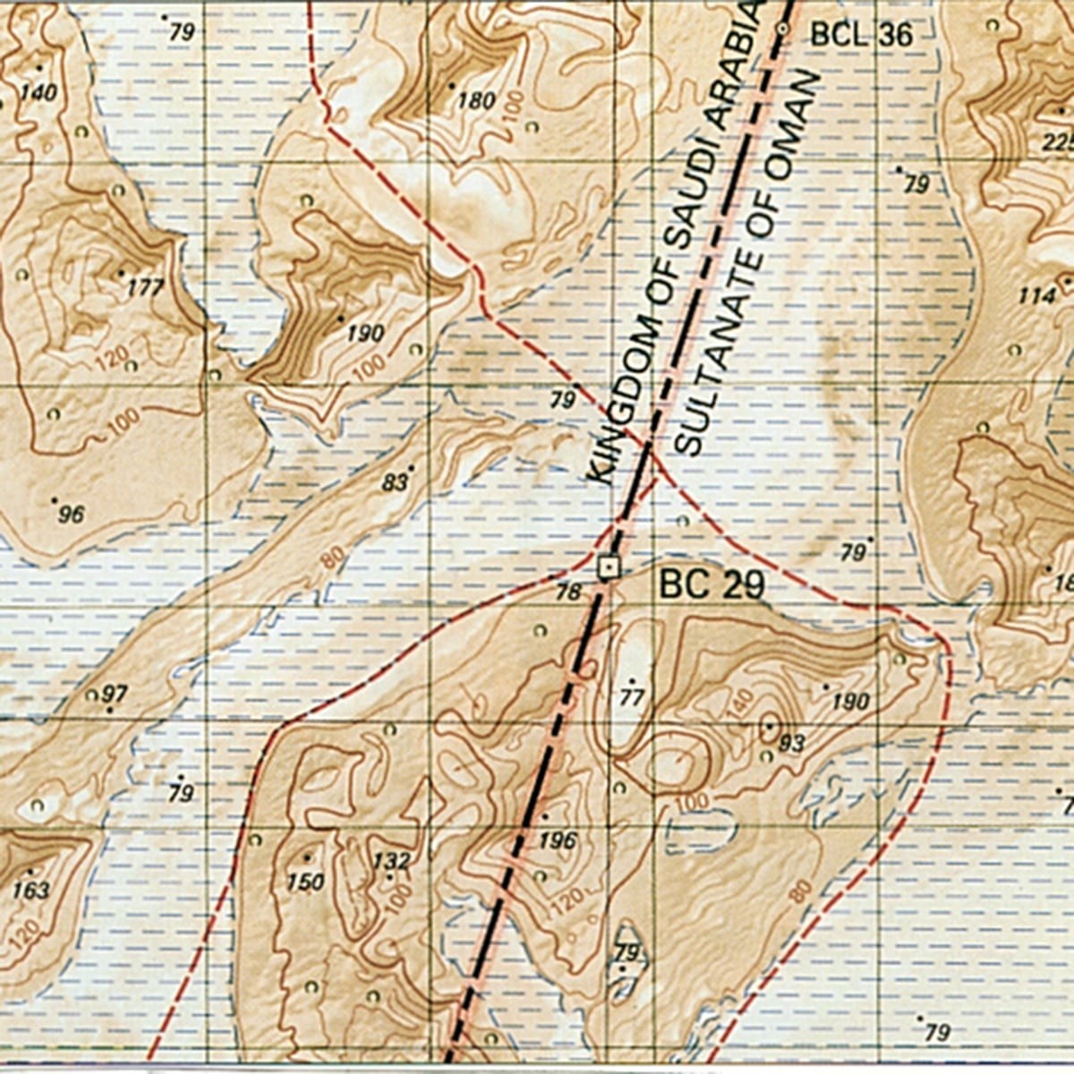
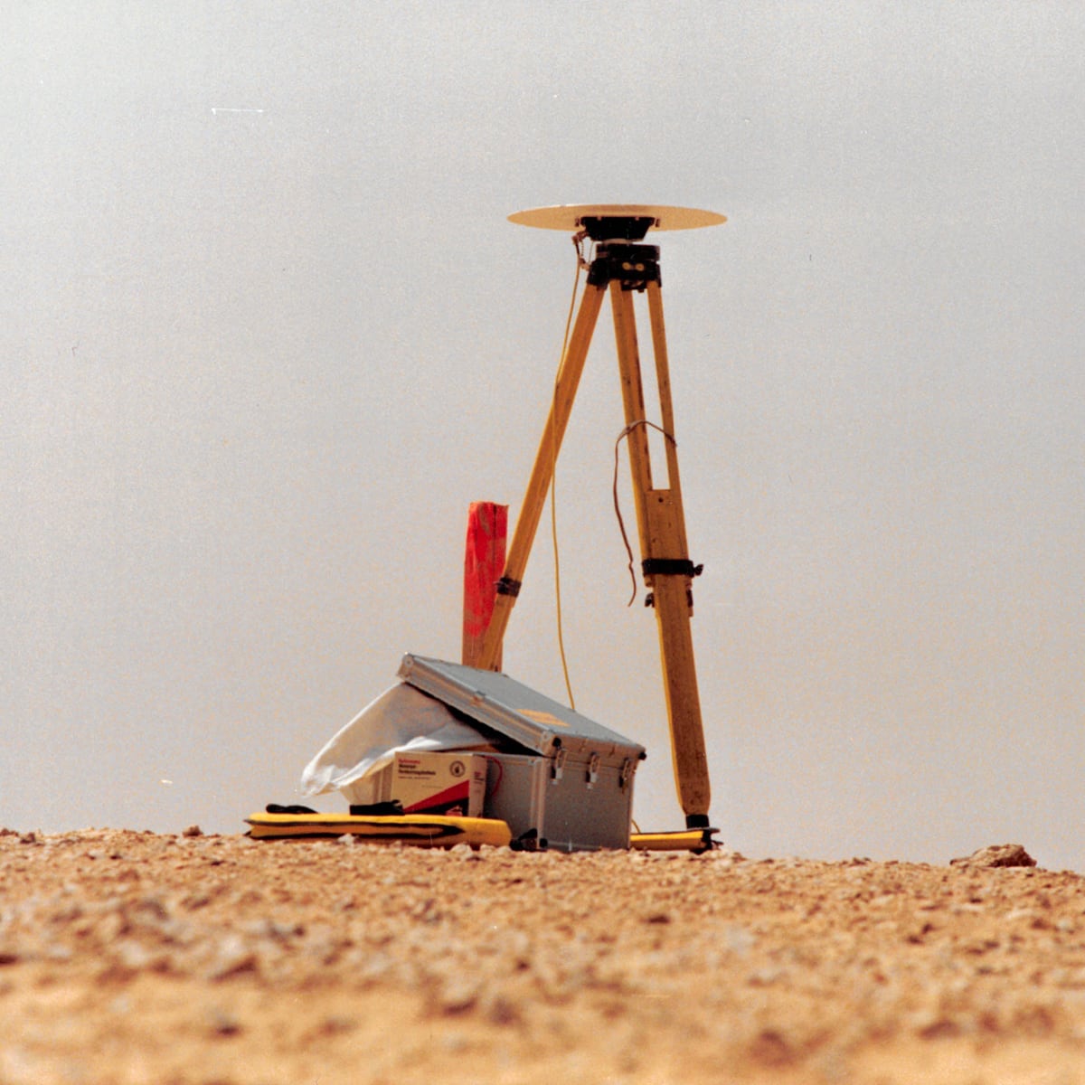
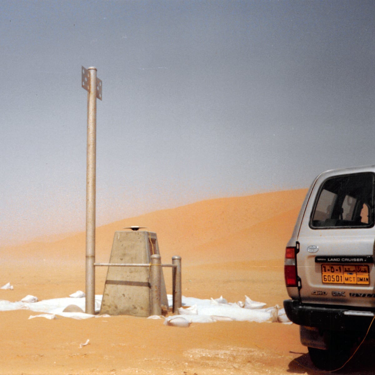
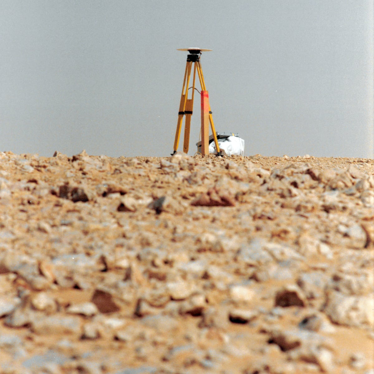
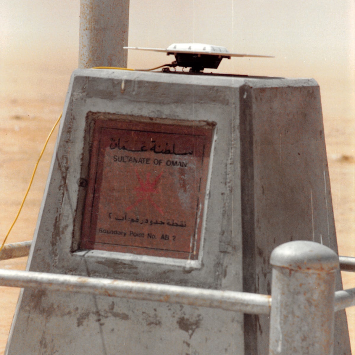
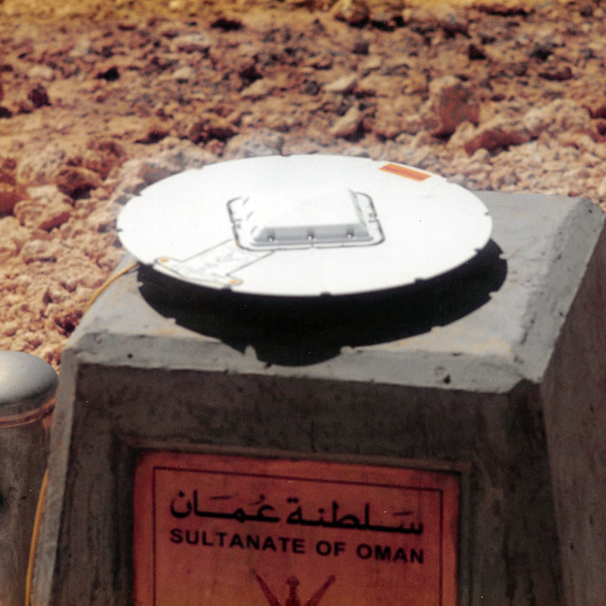
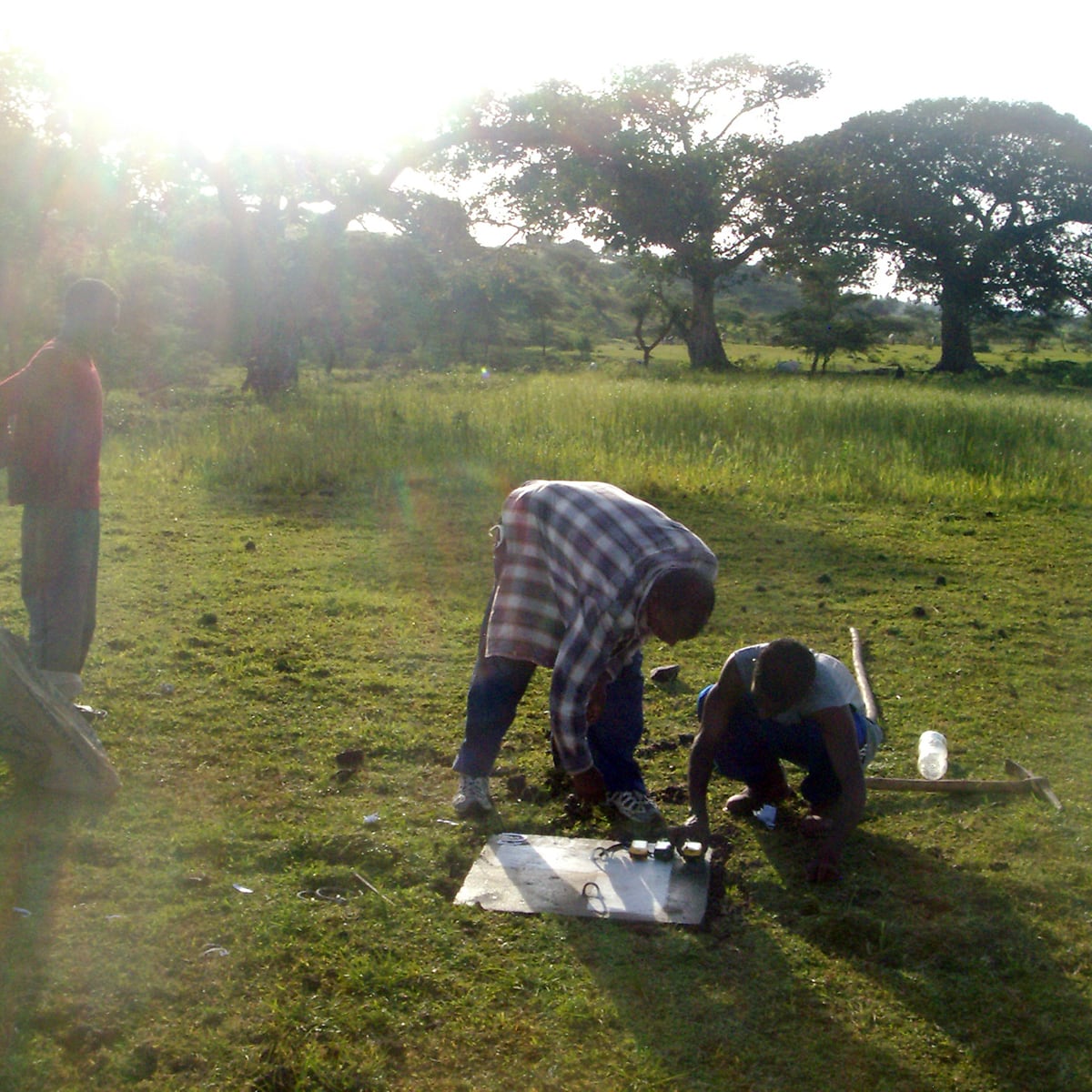
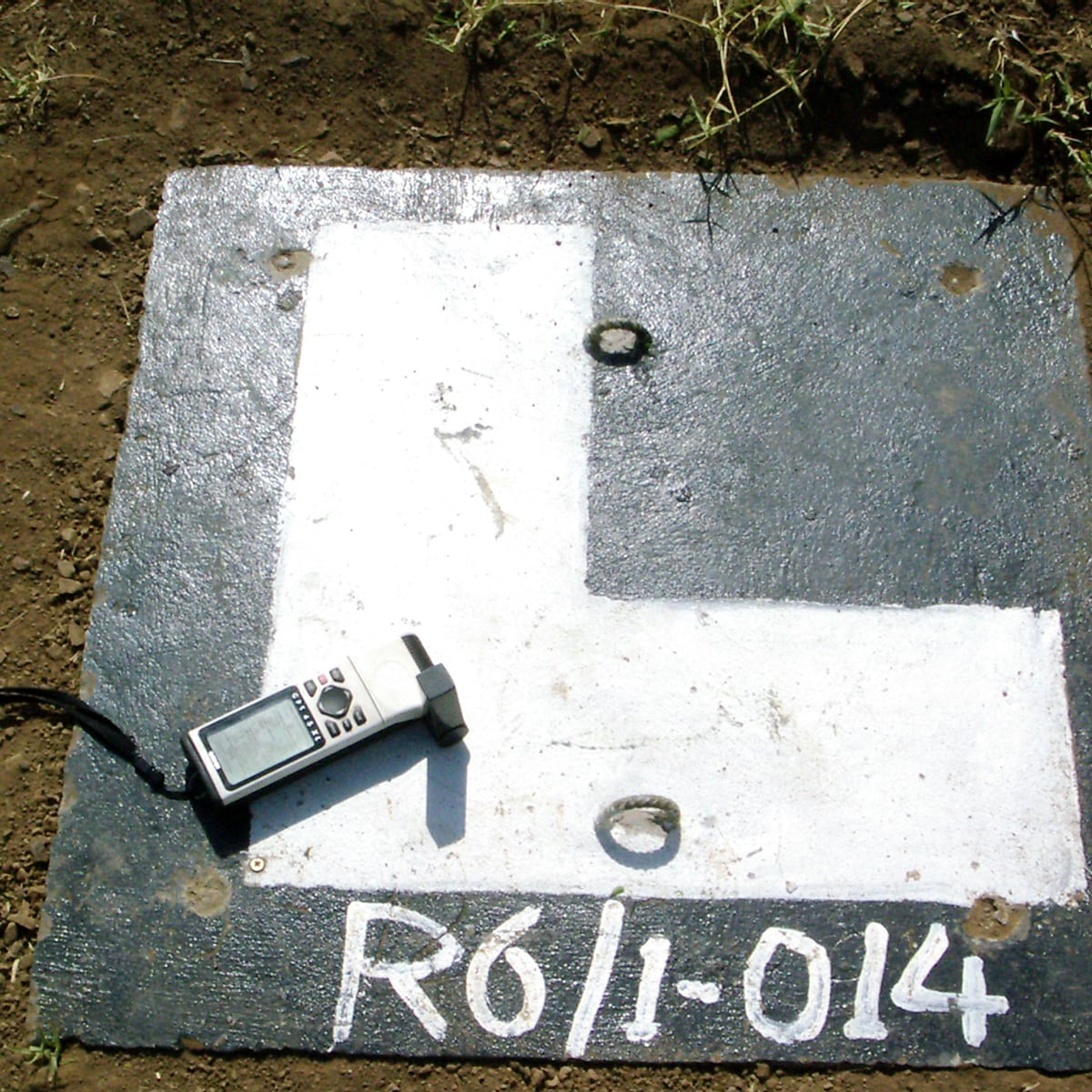
Borderline demarcation
Saudi Arabia, Oman and Yemen, 2001 - 2005 National Borders1,300 km Borderline, 70,000 km² aerial survey and mapping, 192 maps
Details:Countries: Kingdom of Saudi Arabia and Yemen Project: Borderline demarcation between Saudi Arabia and Yemen Customer: Ministries of Interior Facts & Figures: • Duration from 2001 - 2005 • Survey, demarcation and mapping of 1300 km Borderline • 70,000 km² aerial survey and mapping • 192 maps (Edition 1000) at 8 different scales Hansa Luftbild
-
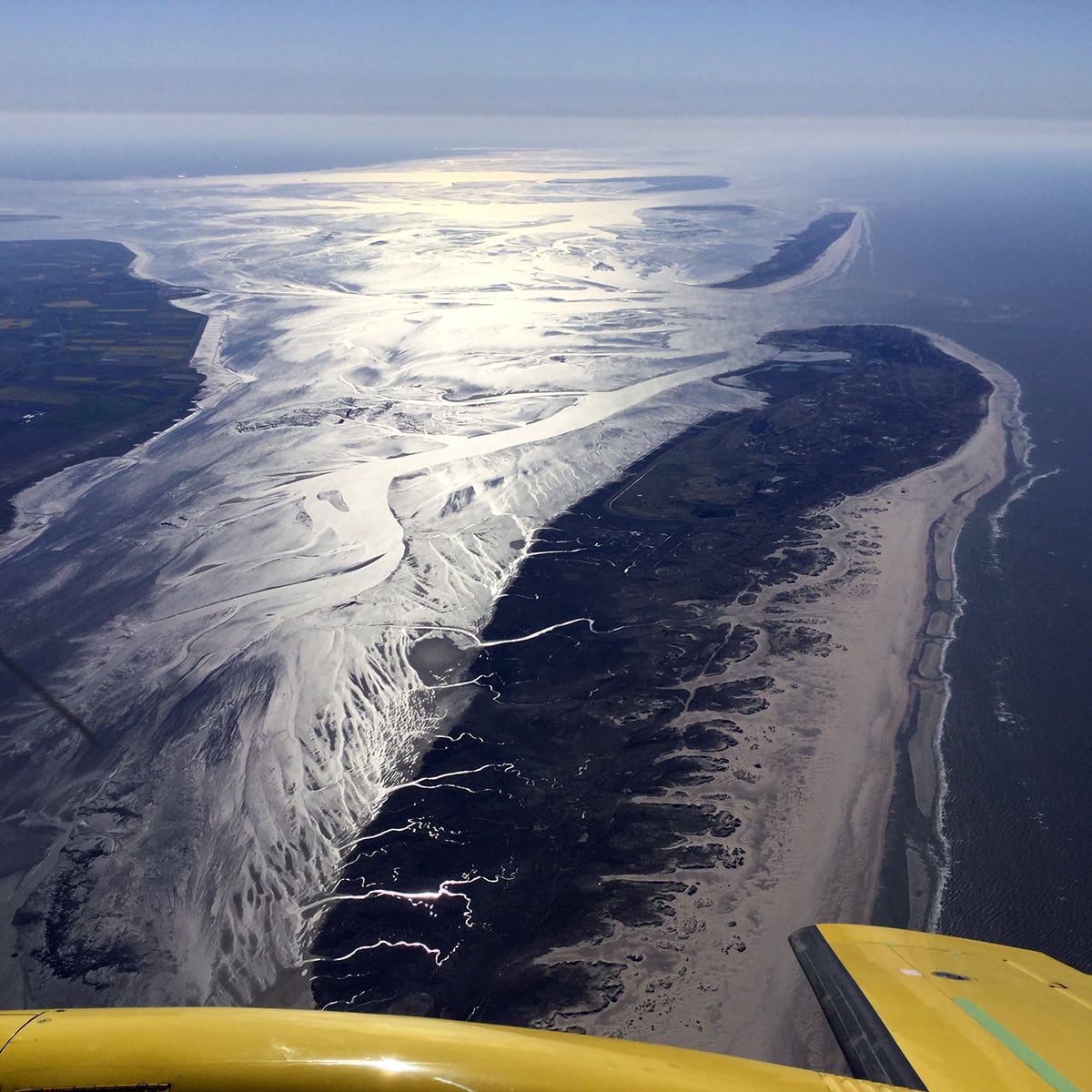
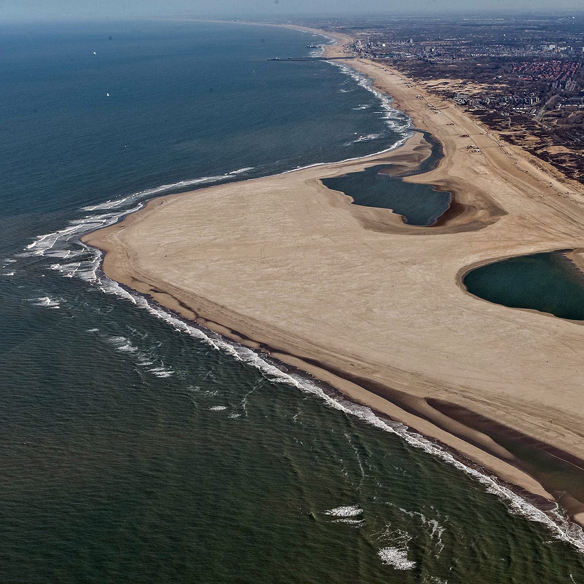
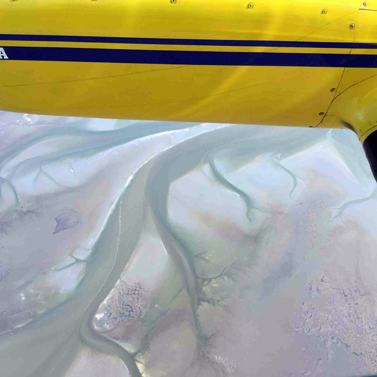
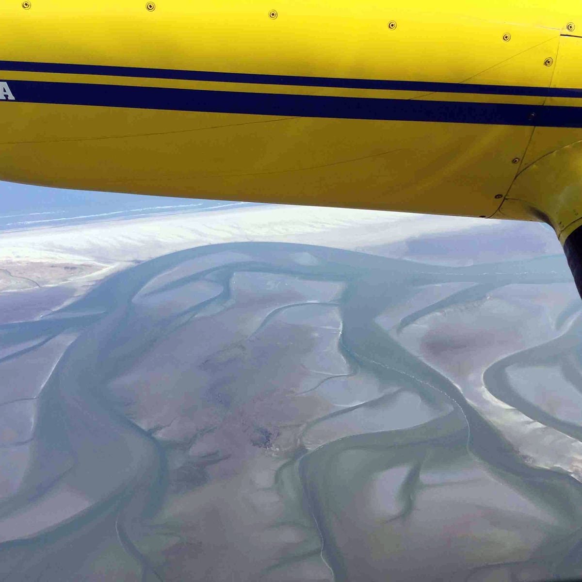
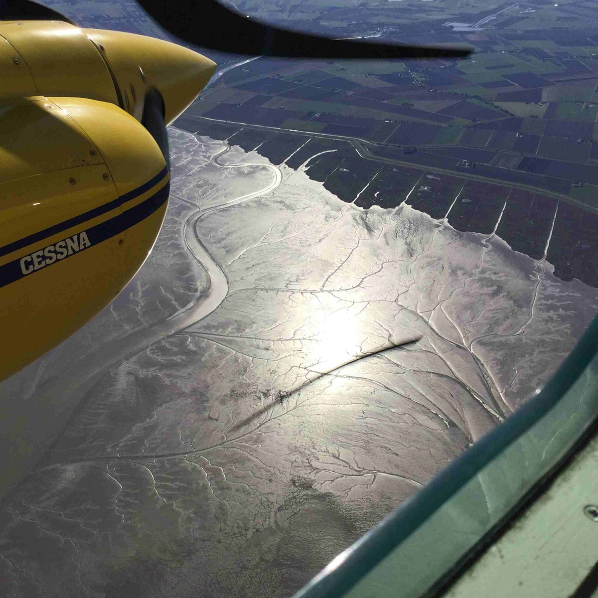
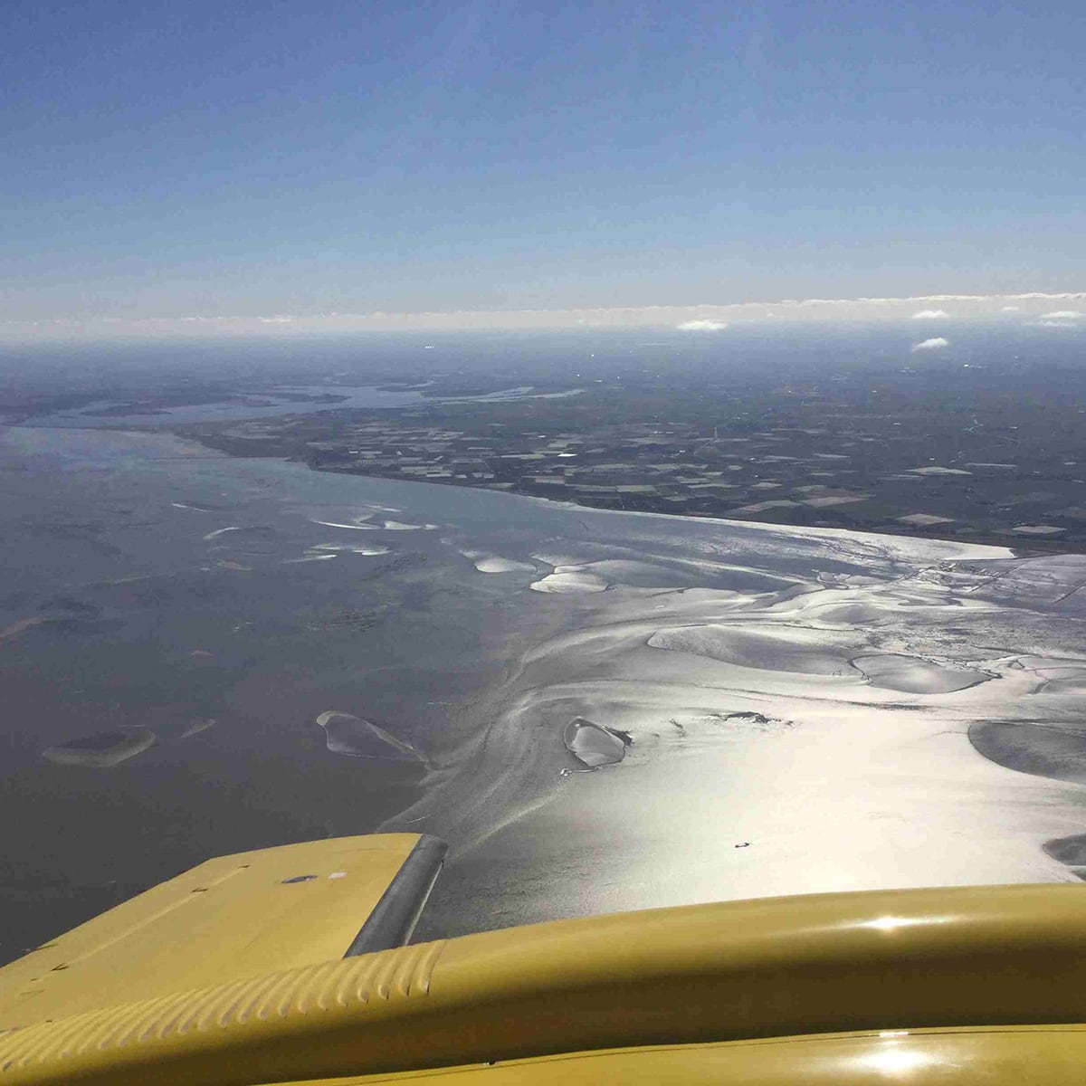
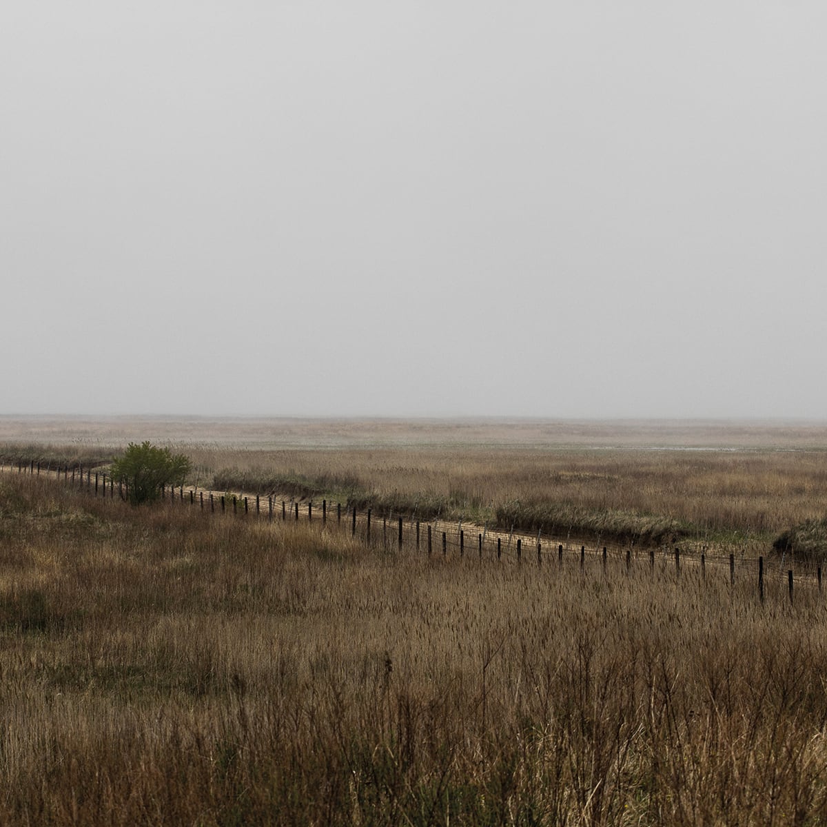
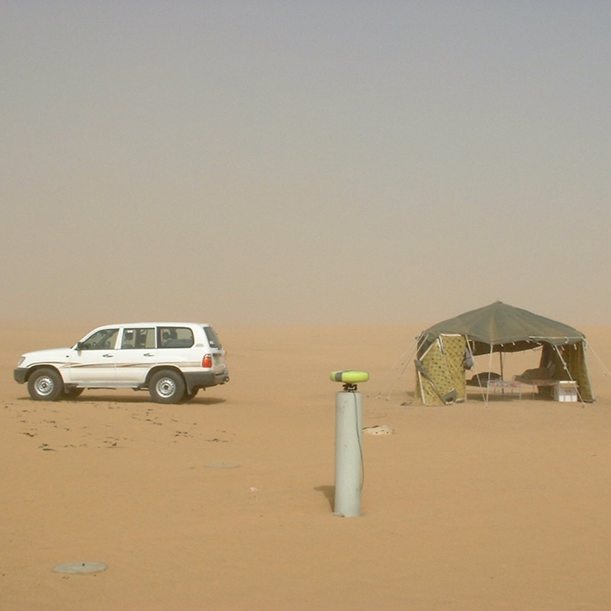
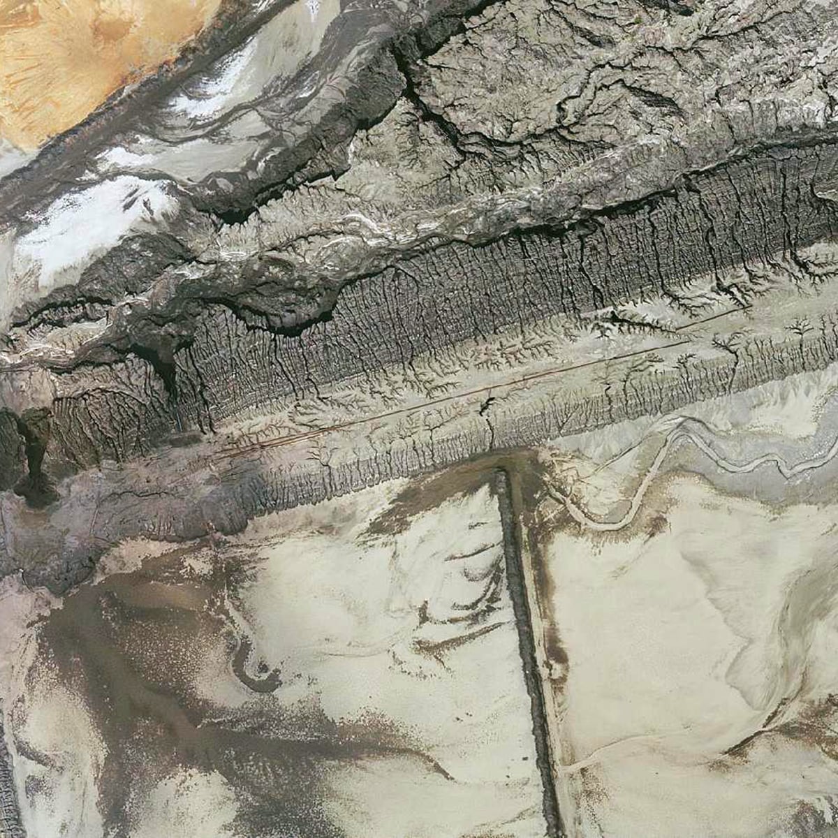
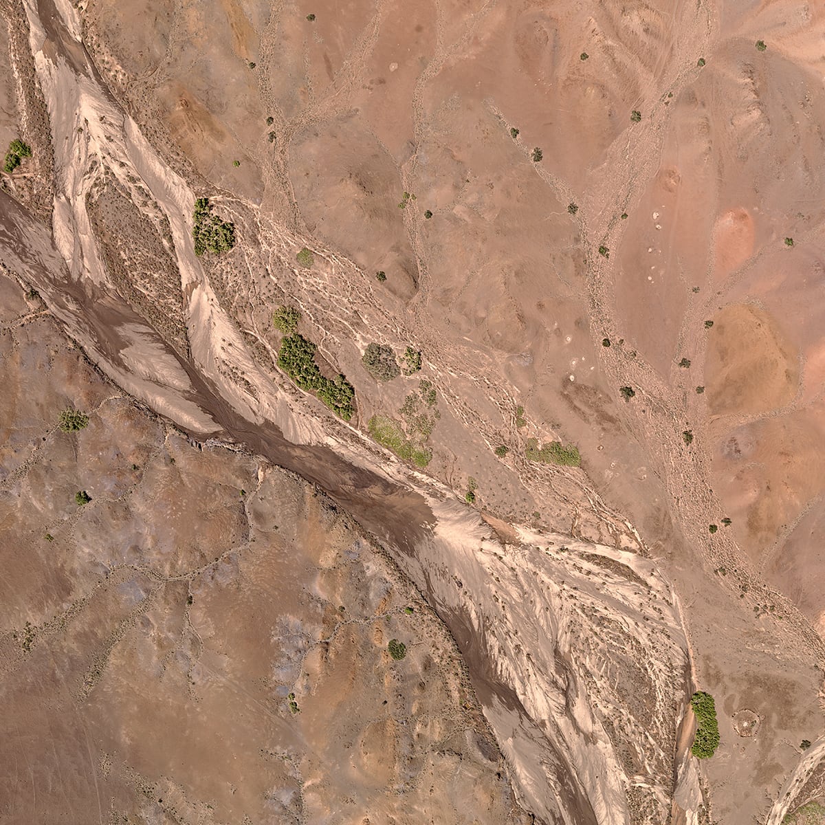
Measuring the sandy coast and estuaria
Netherlands, 2011 - 2017 National BordersMaintenance of dutch coast >1,000 km, 1pt/sqm DSM and DTM in 8 weeks
Details:• Data capture at low tide with limited time periods • >1,000 sqkm, 1pt/sqm • DSM and DTM in 8 weeks Hansa Luftbild
-
Exchange of territory East and West Germany
Germany, 1988 - 1989 National Borders100 km2 territory exchange, extensive mapping of borderline
Details:Hansa Luftbild
-
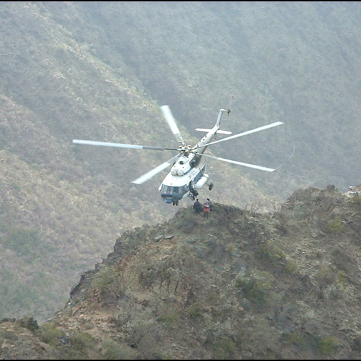
Ground Penetrating Synthetic Aperture Radar (GPSAR)
Landmines Details:Frequency-modulated continuous- wave (FMCW) radar (1 to 4 GHz). Detection within cm-level accuracy by examining depth profiles and showing the amplitude of the targets response over the processing depth. Hansa Luftbild
-
Pulsed Laser Light (sniffers)
Landmines Details:Pulsed laser light and streak tube receivers mounted on a Helicopter using a complex LiDAR based scanning mechanisms. It provides geo-location to support follow on neutralization of the detected mines. Hansa Luftbild
-
Swarm drones GPSAR mapping-analyzing-trigger
Landmines Details:GPSAR autonomous swarm flying drones incl. sensor fusion (Thermal/ RGB). Detected explosives will be triggered on site during overflight. Provides maximum safety for the ground crews and fast deployment. Hansa Luftbild
-
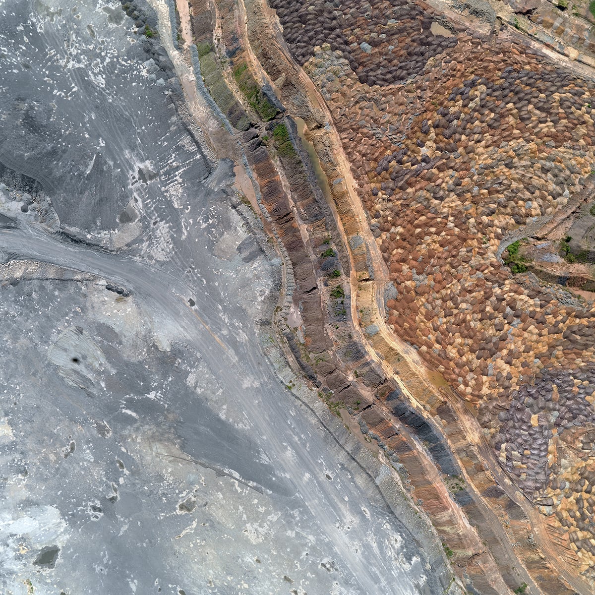
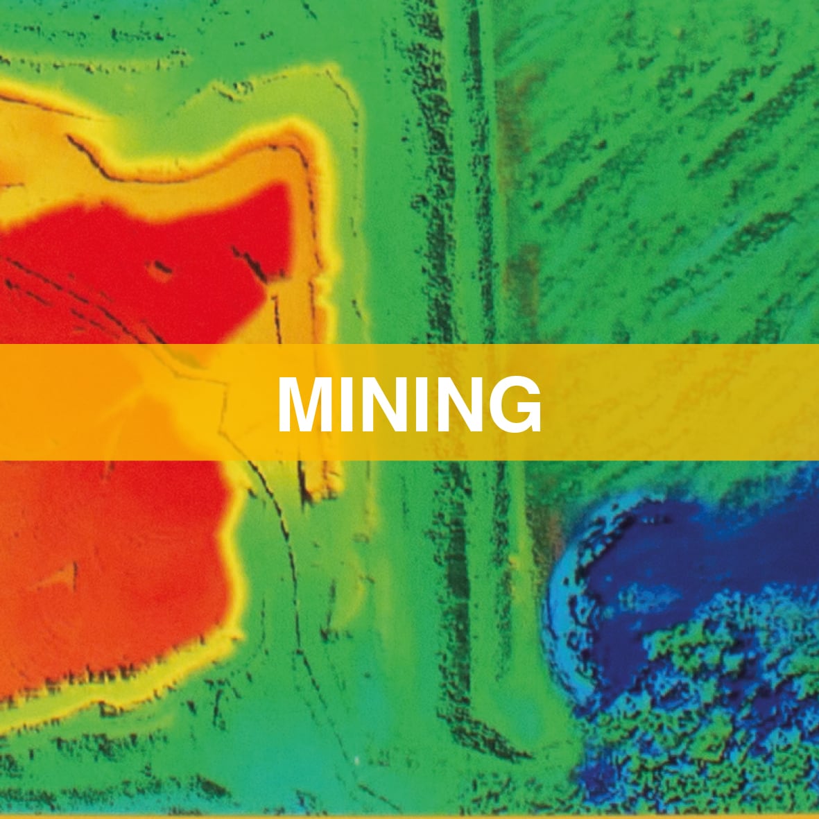
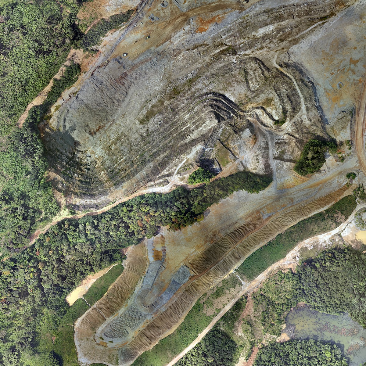
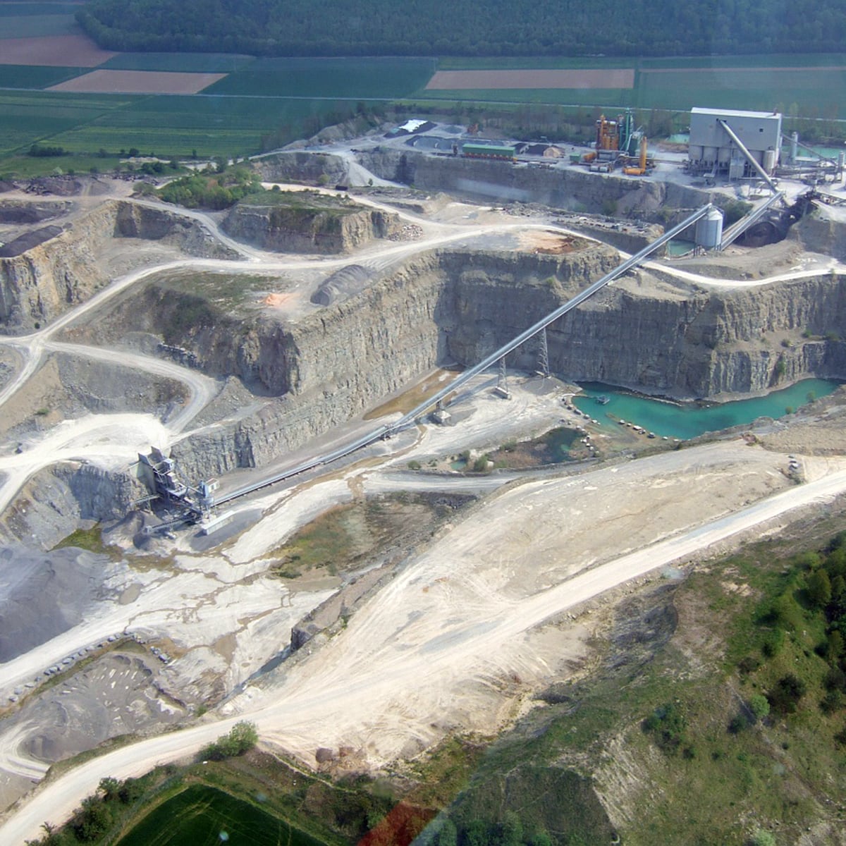
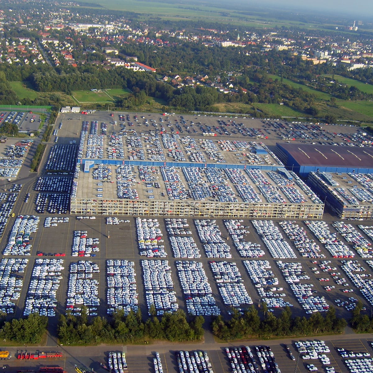
Existing facility
Ghana, 2011 Mining975 km2, point density 2 per m2, DOP 10 cm GSD
Details:Hansa Luftbild
-
Digital Terrain Model
Ivory Coast, 2012 Mining251 km2, point destiny 5 per m2, DOP 10 cm GSD
Details:Hansa Luftbild
-
Digital Terrain Model
Bosnia, 2015 - 2021 Mining110 km2, point destiny 5 per m2, DOP 15 cm GSD
Details:Hansa Luftbild
-
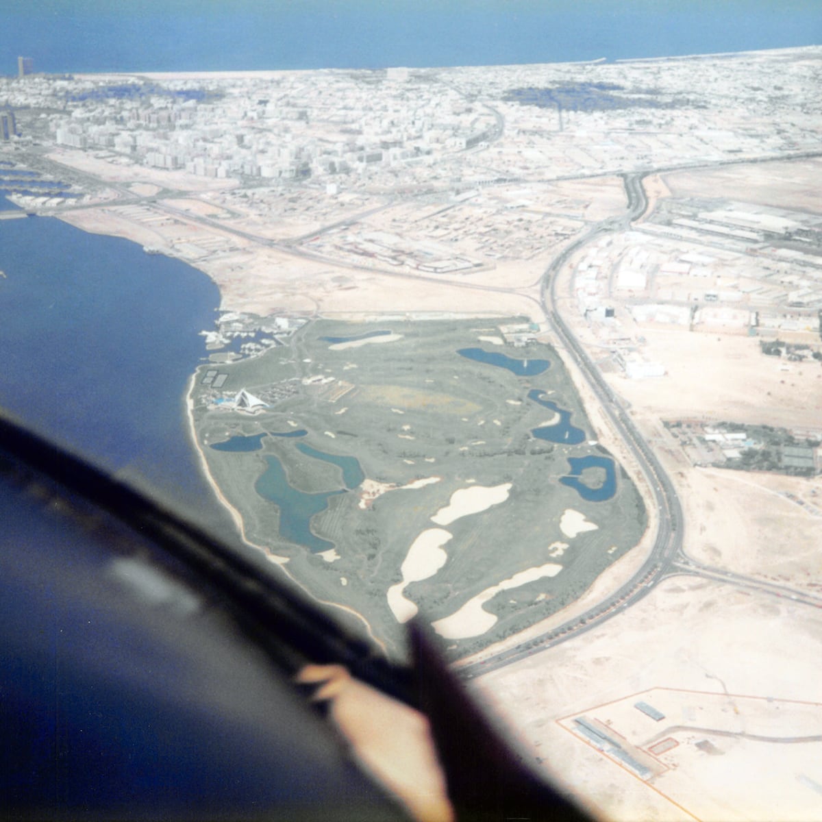
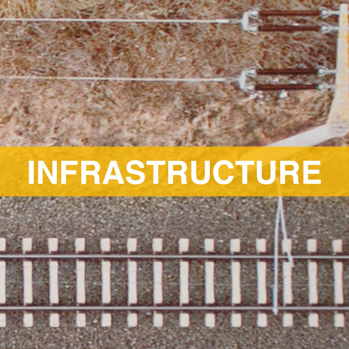
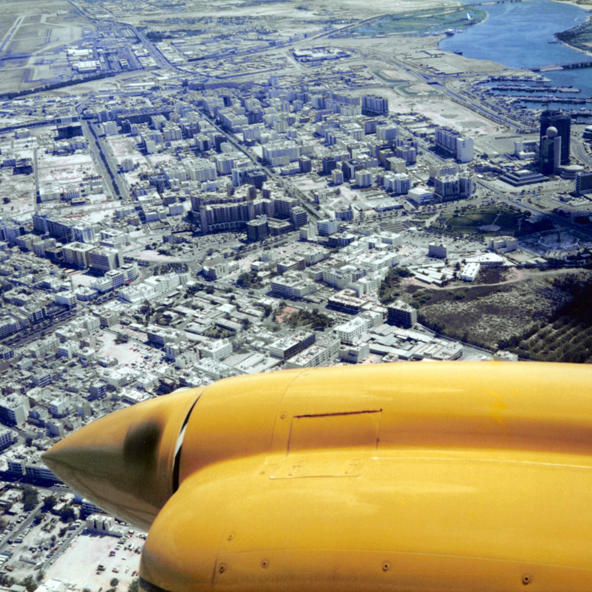
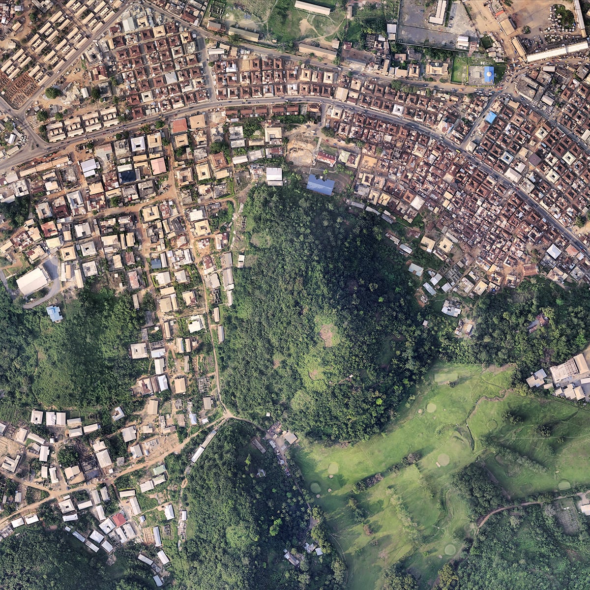
Dubai Urban Master Plan
Dubai, 1995 - 2000 InfrastructureOptimal utilization of infrastructure facilities, including roads, bridges, efficient energy sources to streamline the urban planning process.
Details:Hansa Luftbild
-

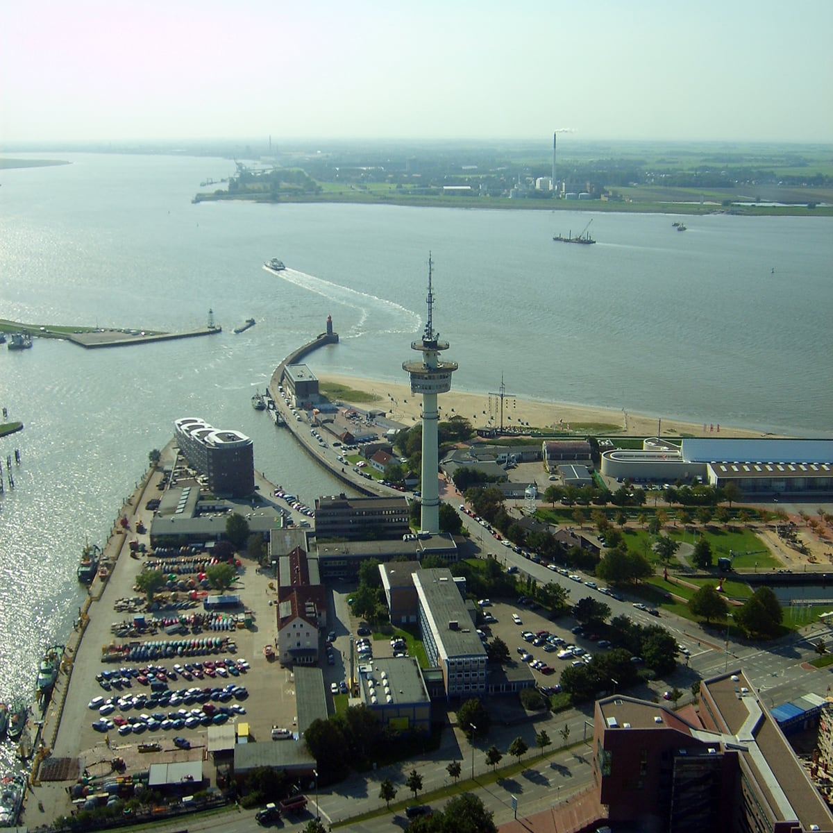
Port GIS for harbors
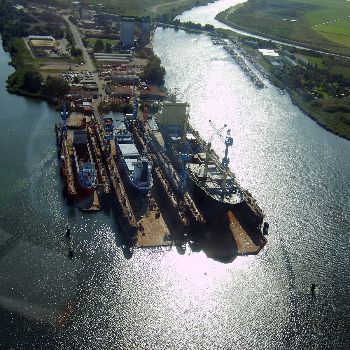
Bremen and Bremerhaven, Germany, since 2005 InfrastructureDevelopment and maintenance of port GIS for bremenports, the harbors of Bremen and Bremerhaven
Details:• Active since 2005 • Visualisation and management of the harbor‘s infrastructure including information about the water level • HL‘s WebGIS ExperMaps • GeoServer, PostGIS, OpenLayers, ExtJS, GeoExt Hansa Luftbild
-
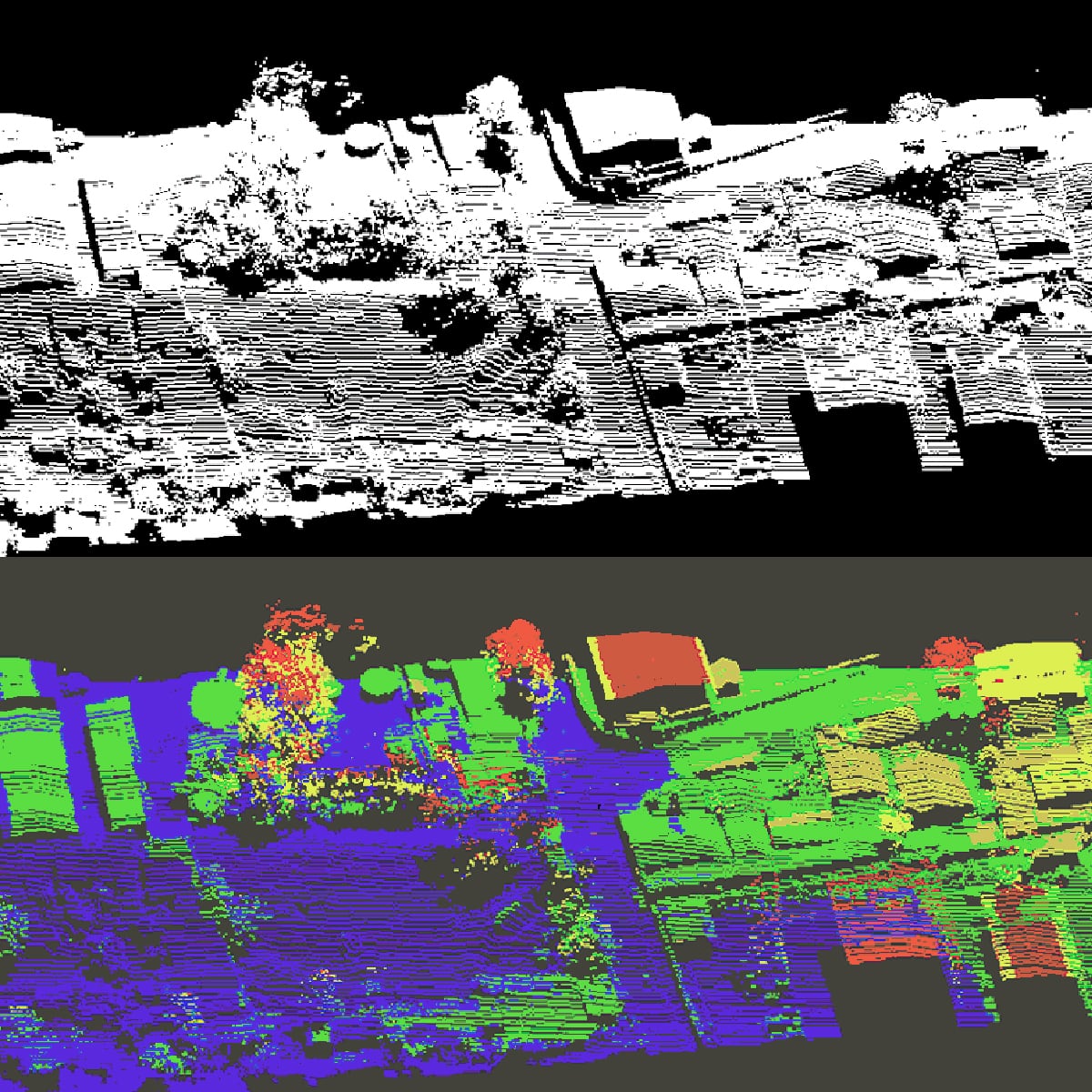
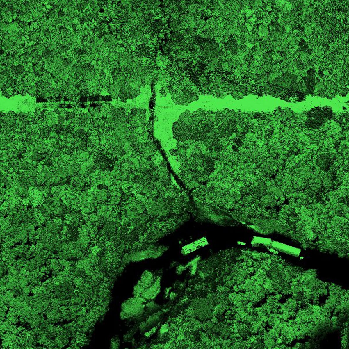
Airborne LiDAR (3D Mapping) survey of railway corridors
Ethopia, 2009 - 2010 InfrastructureCorridors length about 5,060 km, covered area 3,075 km2
Details:• Duration from 2009 - 2010 • Corridors length about 5.060 km • Covered area 3,075 sqkm • Final data delivery 12 TB • Knowledge transfer and training Hansa Luftbild
-
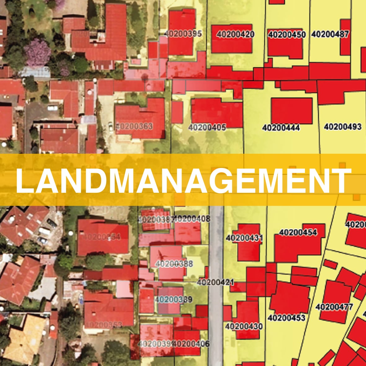
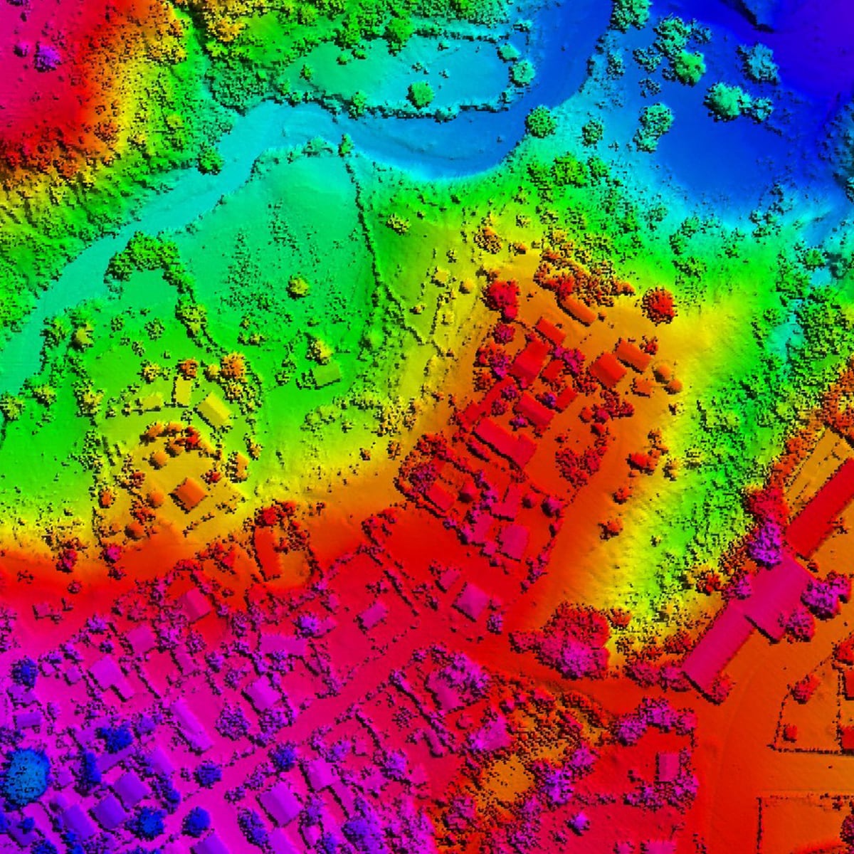
Analysis
Ethopia, 2015 - until now LandmanagementDetails:National Rural Land Administration Information System (NRLAIS) • Beginning May 2015 • Over 750 person-days p.a. • Open-Source-Software • QGIS, GeoServer, PostgreSQL, OpenLayers, ExperMaps Hansa Luftbild
-
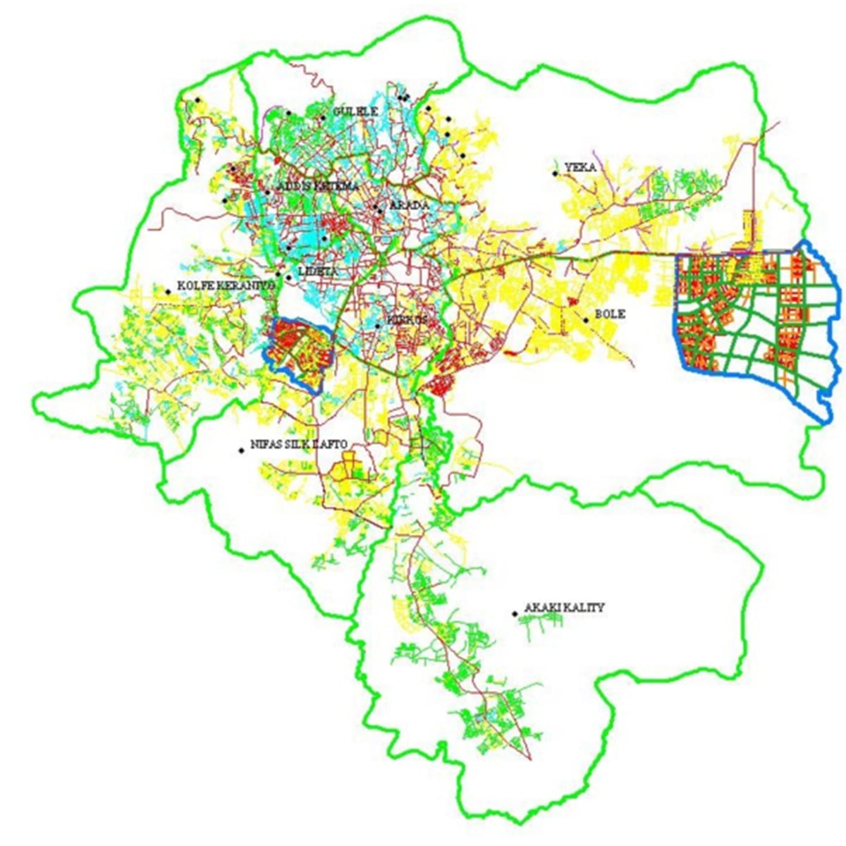
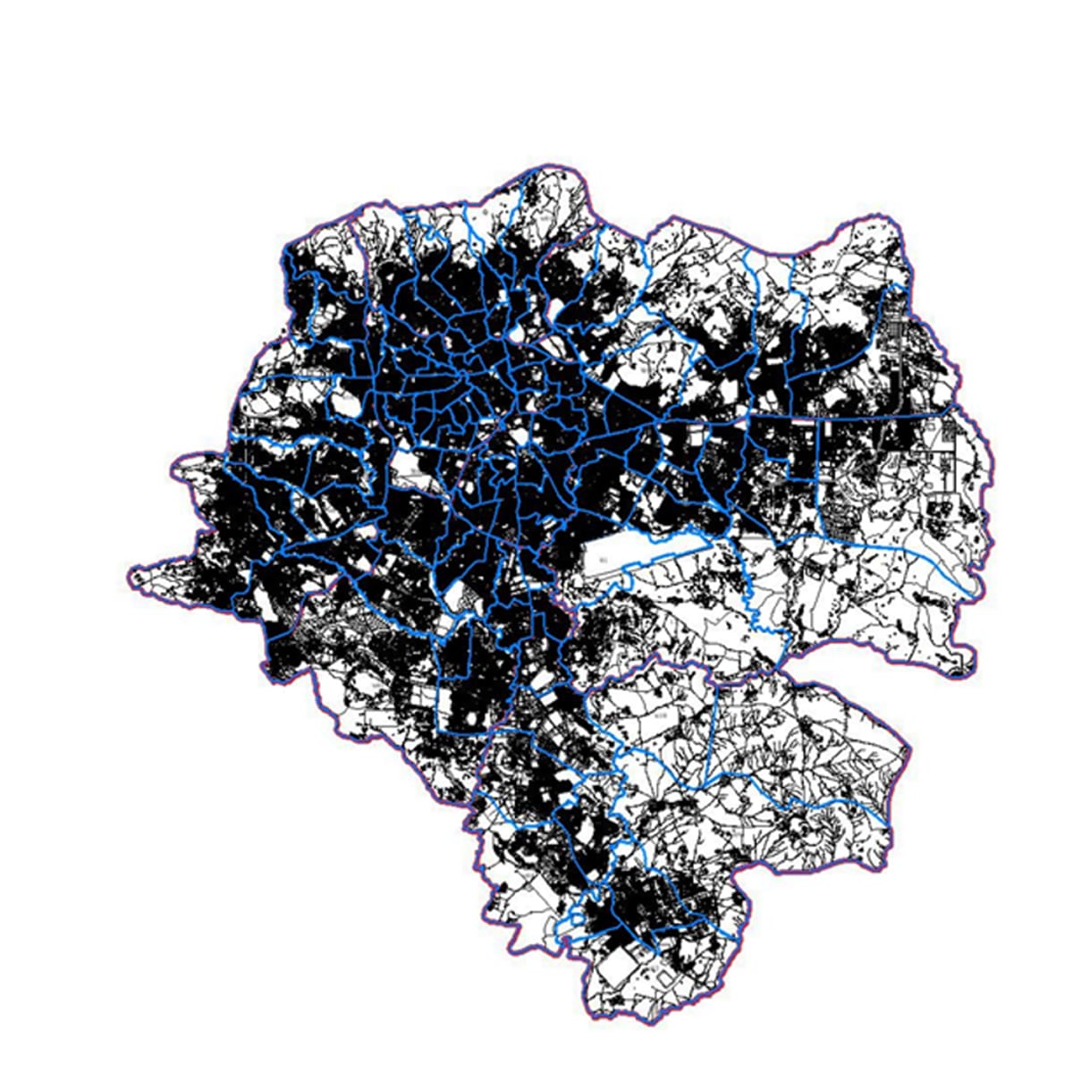
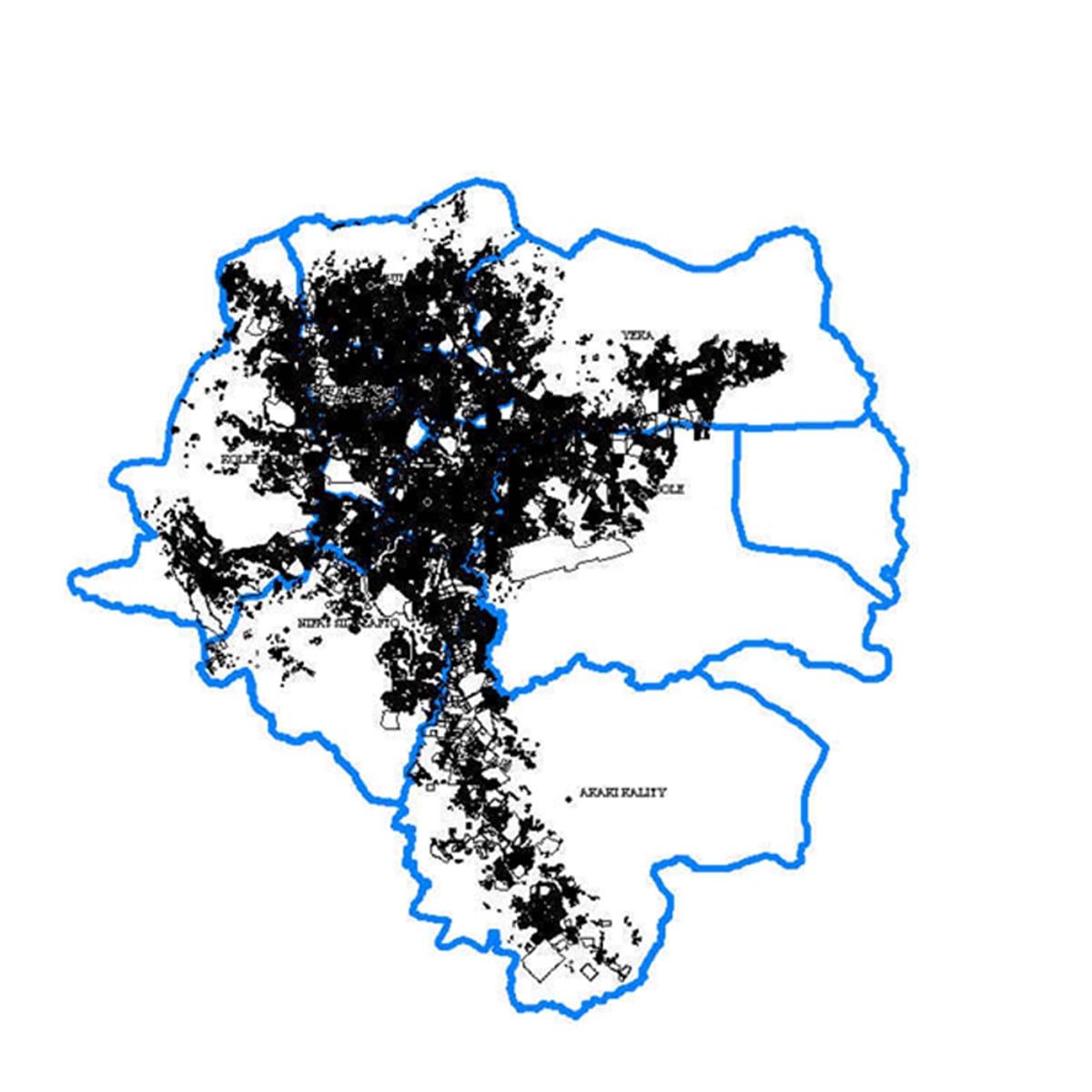
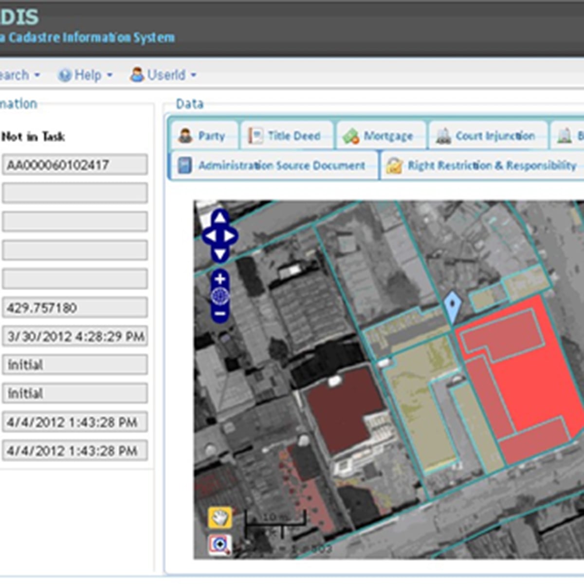
Land information system
Ethopia, Addis Ababa, 2015 LandmanagementMapping of 360,000 parcels and cadastre
Details:Development and maintenance of a real property registration and land information system for the Ethiopian capital Addis Ababa • > 550 person-days p.a. • Mapping of 360.000 parcels • Development of Street adress system • Development of the system • Oracle Spatial, Bentley Map, GeoServer, OGC WMS, OGC WFS Hansa Luftbild
-
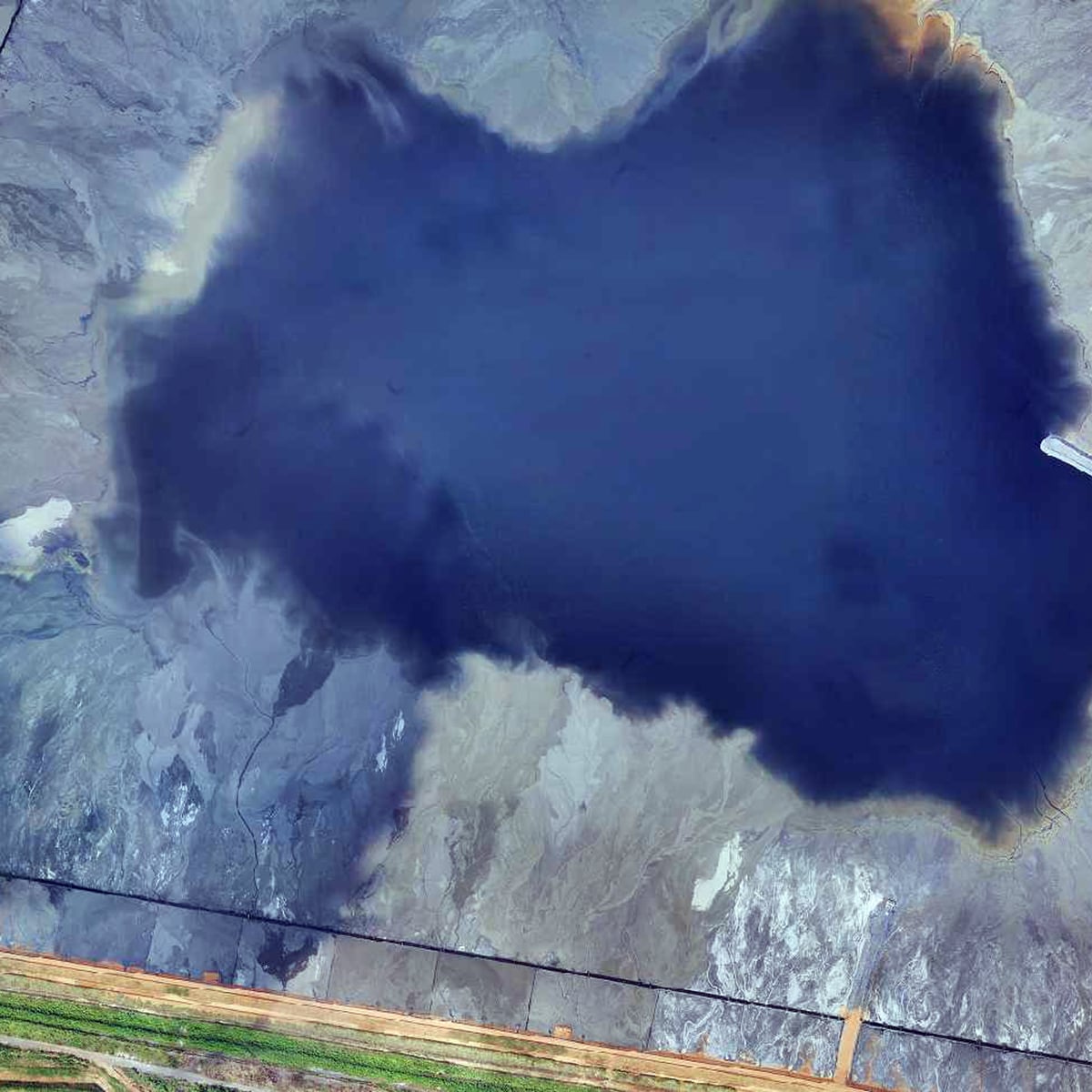
National cadastre
Greece, 2015 Landmanagement44,000 km2, 100 hours total flying time, 14,000 images / 32 TB data, Ground resolution 25 cm
Details:Aerial Images and Digital Orthophotos of Northern Greece – Basis for a new national • March – December 2015 • 44.000 m² or 33% of the national territory • 100 hours total flying time • 14.000 images / 32 TB data Hansa Luftbild
-

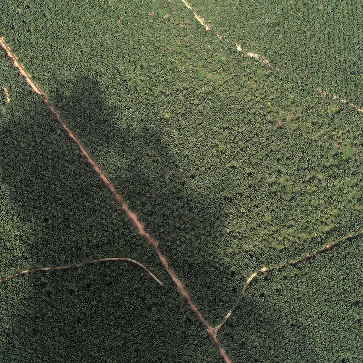
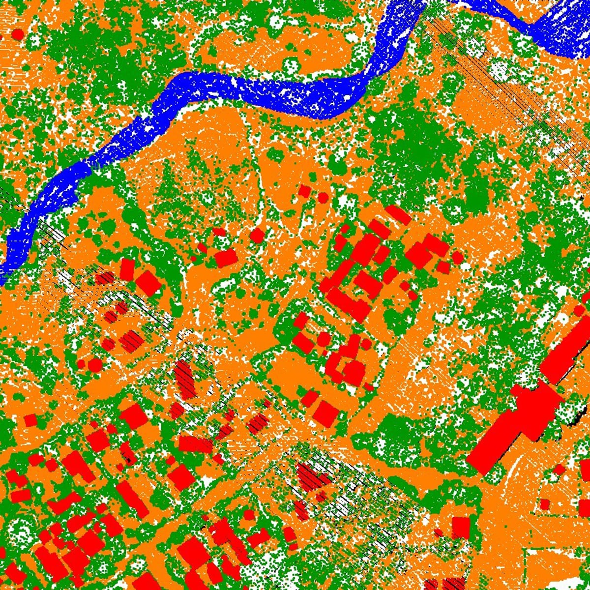
CROP ESTIMATION BASED ON AI
Precision Farming
Details:Cutting-edge technology for highly accurate crop area estimation using AI and machine learning to analyses remote sensing satellite data, based on more than one million ground truth data sets from all over the world. Hansa Luftbild
-
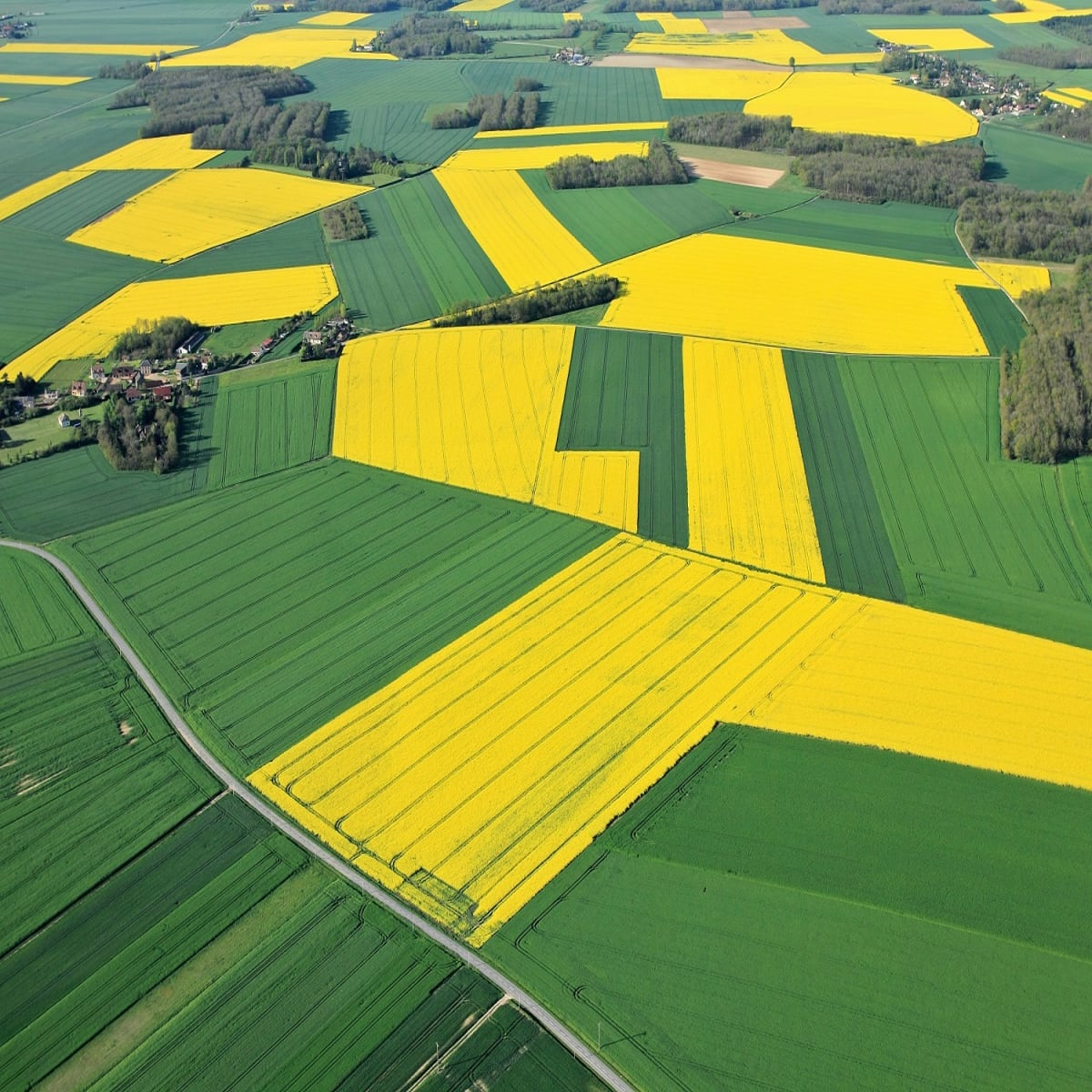
FARMERS'S WEB GIS
Precision Farming
Details:WebGIS provides farmers with monitoring of their crops through daily updated satellite images. It keeps the farmer up to date about the vitality of every field, detects different growing conditions within a field and predicts the best time to harvest. Hansa Luftbild
-
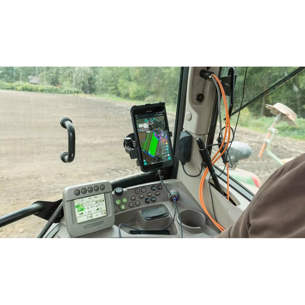
SMART FARMING
Precision Farming
Details:Exporting the results of these maps to every common machine terminal, such as John Deere, New Holland, Ferguson, Steyr and many others. Hansa Luftbild